3DCityLoader
Turns a box you draw on a map into a printable city model with buildings and terrain
3DCityLoader is a freemium browser tool for printing your street or hometown as a city model. Free with no account up to 0.5 km² on the worldwide OpenStreetMap map and 0.1 km² in the official-data regions. Larger areas (up to 5 or 10 km² depending on the region) show a price in euros with a free preview first, and anything bigger is quoted on request. The v2 app used for newer regions needs registration. Exports STL and OBJ. Last checked .
Opens 3dcityloader.com
What is 3DCityLoader?
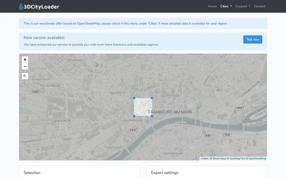
3DCityLoader is a web service from Germany that cuts an area out of public 3D city data and converts it into a file you can download. You search for an address, drag the corners of a box over the map and pick a format. For printing you choose STL and tick Add terrain, so the buildings stand on a solid base, and the terrain can also go into a file of its own. The download arrives as a ZIP.
The worldwide map uses OpenStreetMap buildings. For Berlin, Hamburg, Cologne, Aachen, New York City, Switzerland and several German states it uses the official 3D models those regions publish, which the makers say hold far more detail. Newer regions such as the Netherlands, France, Norway and Tyrol open in a second version of the app that asks you to register before exporting. Besides STL, the classic tool offers OBJ and DXF.
Small areas are free: up to 0.5 km² on the worldwide map and 0.1 km² in the official-data regions. Bigger areas show a price in euros and a free preview before you pay. The makers suggest staying under about 0.5 km² for a print so the buildings do not get too small. It suits anyone who wants their street, campus or hometown as a desk model and is happy to scale the file in a slicer.
What you can make
- City blocks with 3D buildings
- Buildings on a terrain base
- Terrain as a separate STL
- Neighborhood and campus models
How to use 3DCityLoader
- Open the worldwide map or a region from the Cities menu and search for an address
- Drag the blue corner points to frame your area, ideally under 0.5 km²
- Choose STL and tick Add terrain, plus 'in separate file' if you want the base on its own
- Click Generate file (or Free preview for a paid area) and check the preview
- Download the ZIP, then scale the STL in your slicer and print
What you'll need to print it
Filament and parts that suit what you make with 3DCityLoader.
White PLA
Matte PLA
Some of these are affiliate links: we may earn a small commission, at no extra cost to you. More about that
3DCityLoader pros
- Uses the official 3D building data in several German regions, Switzerland and New York City, which holds much more detail than plain OpenStreetMap blocks
- The free area on the worldwide map is big enough for a street or campus, and the classic tool needs no account
- Add terrain gives the model a solid base, and the terrain can go into its own STL if you want to print it in a second color
3DCityLoader cons
- The Netherlands, France, Norway, Tyrol and three German states now open in the v2 app, which asks you to register before exporting
- There are no print-size or base-thickness settings, so you scale the model and trim the base in your slicer
- The free limit in the official-data regions is only 0.1 km², and bigger areas cost money
Rate 3DCityLoader
One rating per account. Signing in takes one email link, no password.
Reviews
Made with 3DCityLoader
Read next
3DCityLoader alternatives
Terrain and map generators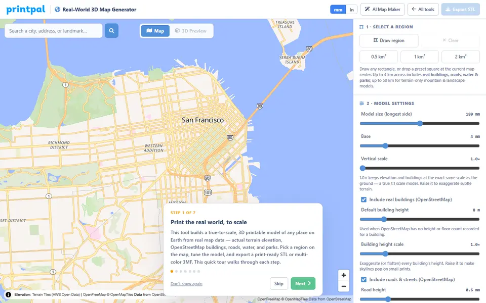
Maps & Terrain
PrintPal Real-World 3D Map Generator
True-scale terrain and building maps from OSM data, exported as multicolor 3MF
Maps & Terrain
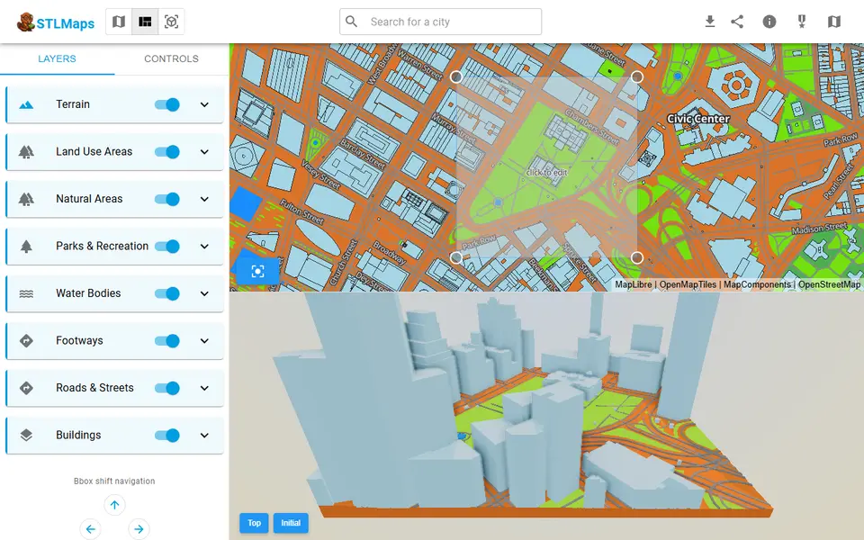
STLmaps
Draw a box on a city map and get its terrain, roads and buildings as STL or 3MF
Maps & Terrain
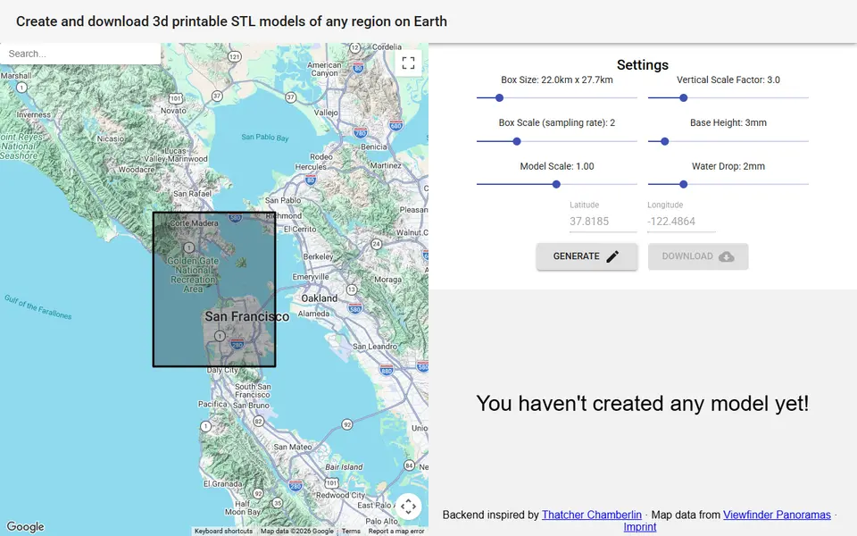
map2stl.com
Free terrain STL of any box you draw on a Google map, with height scale, base and water settings, no account
Maps & Terrain
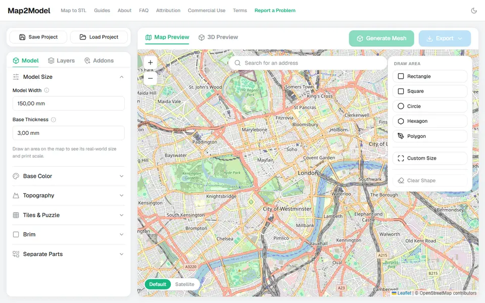
Map2Model
Draw an area on a map and export a city or terrain model as STL or multicolor 3MF
Maps & Terrain
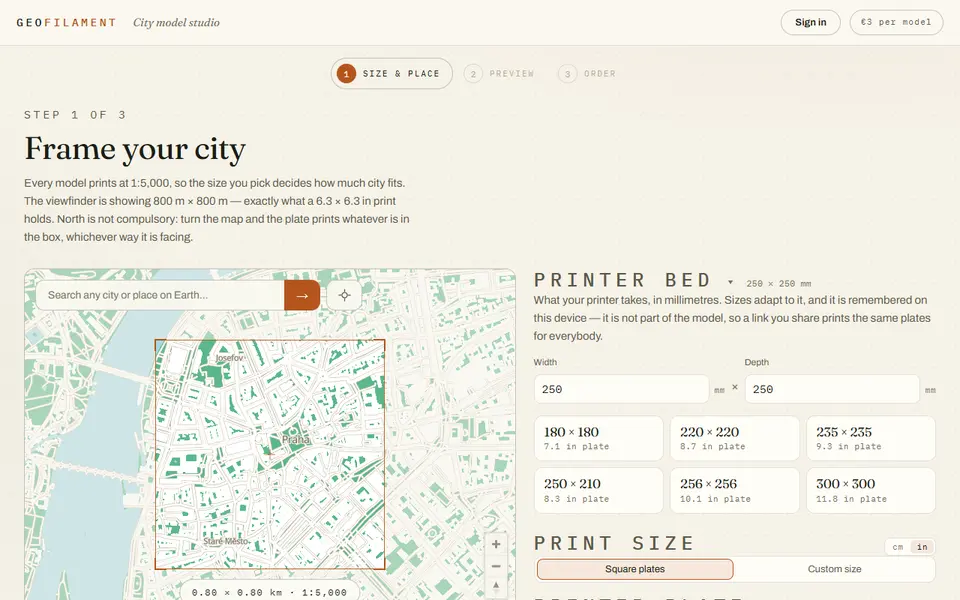
GeoFilament
Any place on Earth as a multicolor city model at 1:5,000, from 3 EUR per model with a free in-browser preview
Maps & Terrain
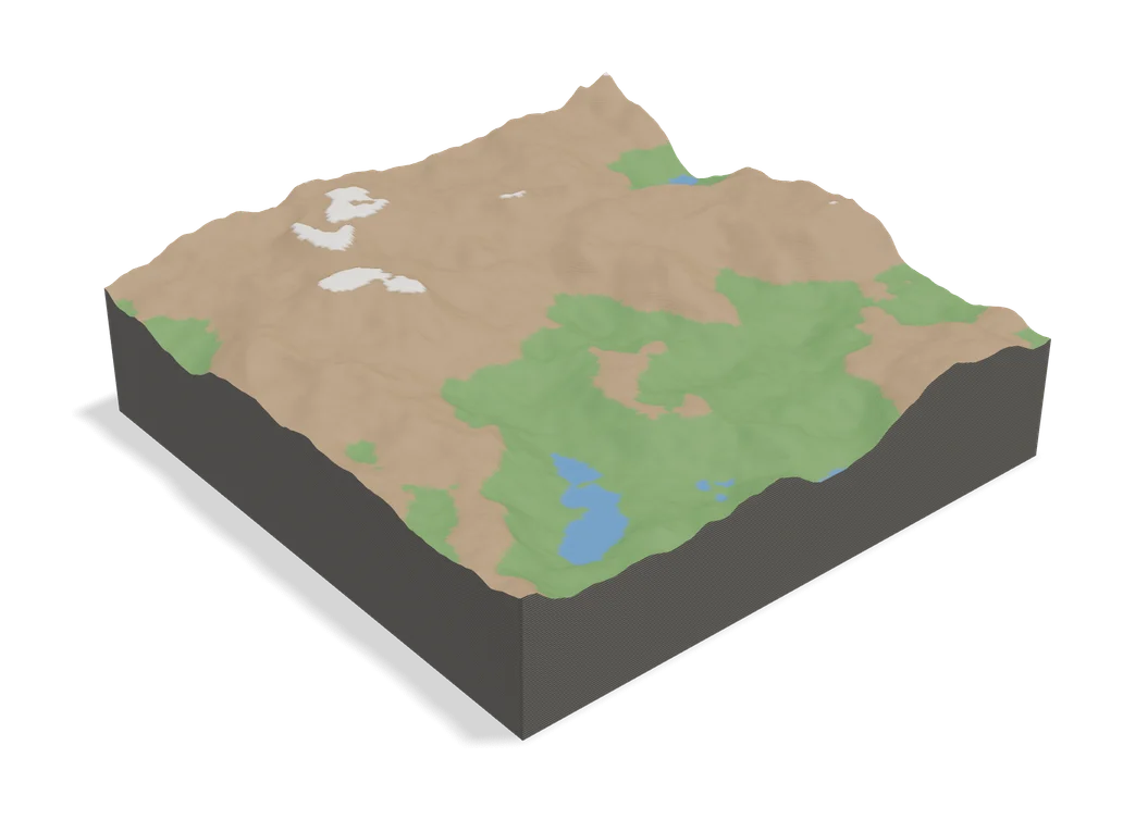
TopoTile Studio
Free local app that turns an OpenStreetMap area into a printable city and terrain model