What is TopoTile Studio?
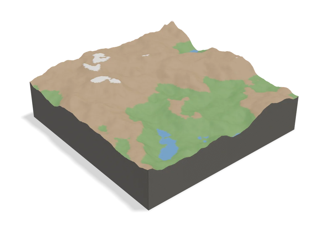
TopoTile Studio builds 3D-printable city and terrain models from OpenStreetMap and elevation data. It runs on your own computer as a local web page: you pick an area on a map, choose a free, fixed-ratio, circle or hexagon frame, and export the model.
It adds buildings, roads, water, green spaces, parking lots and airport pavement, fills gaps with Overture Maps buildings and uses Open-Meteo and Mapzen terrain data, or a GeoTIFF you upload. Extras include a water cutout mode, road cleanup presets, a printability score and saved projects. Large models can be split into numbered chunks in a ZIP. Output is 3MF, GLB or STL, and the interface is in English and Chinese.
You need Python 3.11 or newer, although the project includes launchers for macOS and Windows. It suits makers who want a free, offline alternative to paid city map services for personal prints.
What you can make
- City models with buildings, roads and water
- Terrain relief tiles
- Circle and hexagon map tiles
- Chunked large maps
How to use TopoTile Studio
- Download the repository and install Python 3.11 or newer
- Start it with the macOS or Windows launcher
- Pick an area and a frame shape on the map
- Choose layers and export 3MF or STL
- Slice and assign colors per part
What you'll need to print it
Filament and parts that suit what you make with TopoTile Studio.
Multicolor PLA
Matte PLA
Multicolor filament systems
Some of these are affiliate links: we may earn a small commission, at no extra cost to you. More about that
TopoTile Studio pros
- Buildings, roads, water and terrain in one model
- Circle, hexagon and chunked exports
- Runs locally with no account
TopoTile Studio cons
- Needs Python 3.11 and a local install
- Non-commercial license
- New project from mid 2026 with few users so far
Rate TopoTile Studio
One rating per account. Signing in takes one email link, no password.
Reviews
Made with TopoTile Studio
Read next
TopoTile Studio alternatives
Terrain and map generators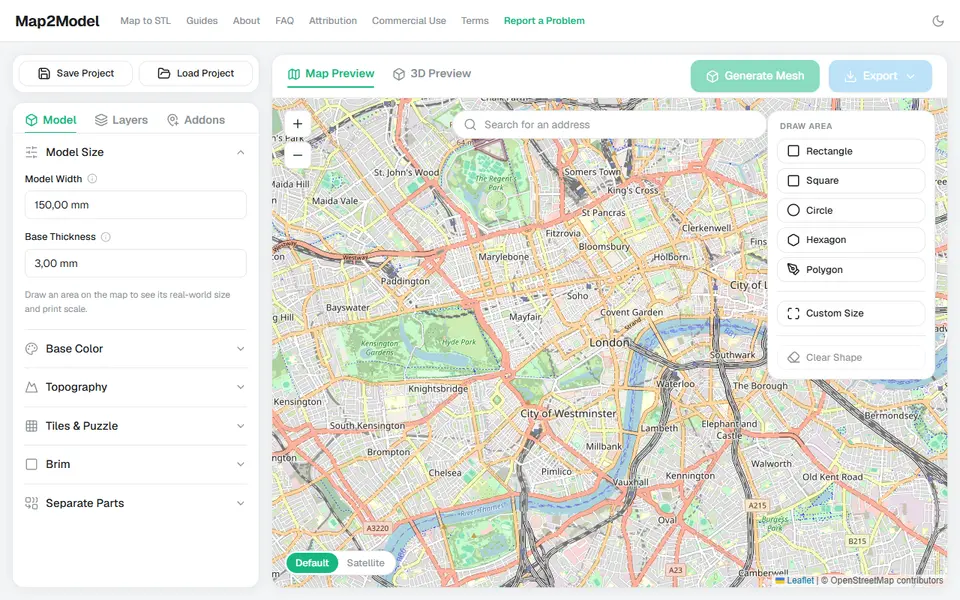
Maps & Terrain
Map2Model
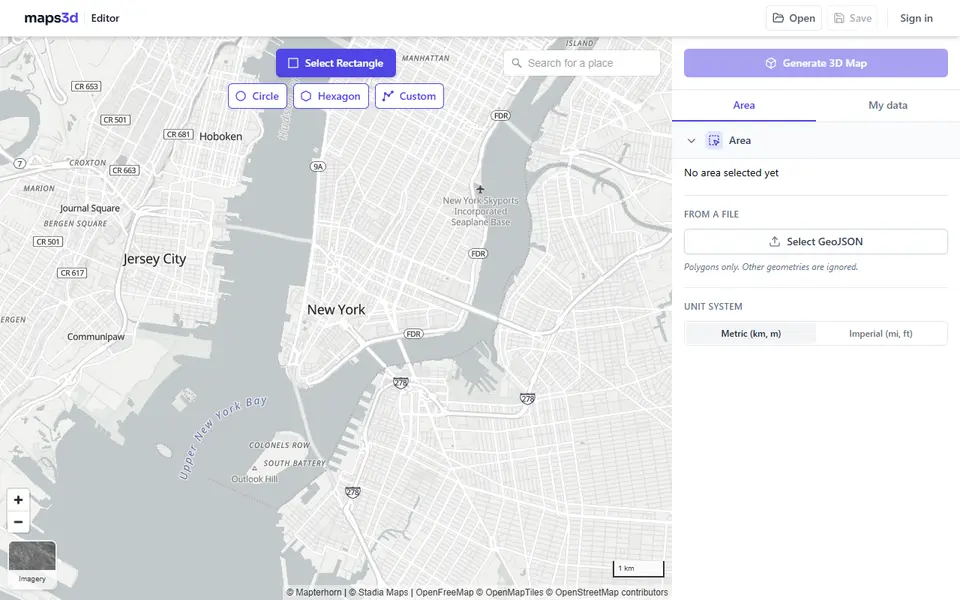
Draw an area on a map and export a city or terrain model as STL or multicolor 3MF
Maps & Terrain
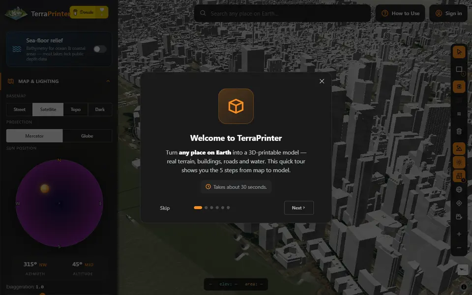
TerraPrinter
Browser terrain maker with OSM features, hex tiles, puzzle and voxel styles
Maps & Terrain
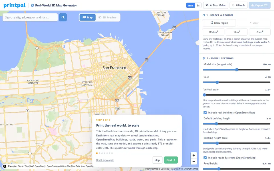
PrintPal Real-World 3D Map Generator
True-scale terrain and building maps from OSM data, exported as multicolor 3MF
Maps & Terrain
Mini Skyline
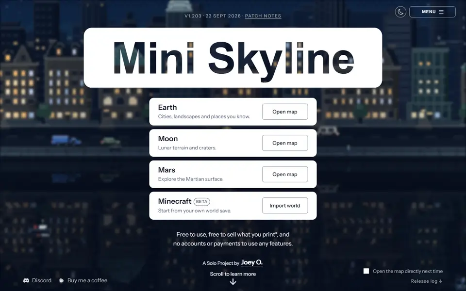
Turns a real city or landscape into a multicolor 3MF relief model in your browser
Maps & Terrain
STLmaps
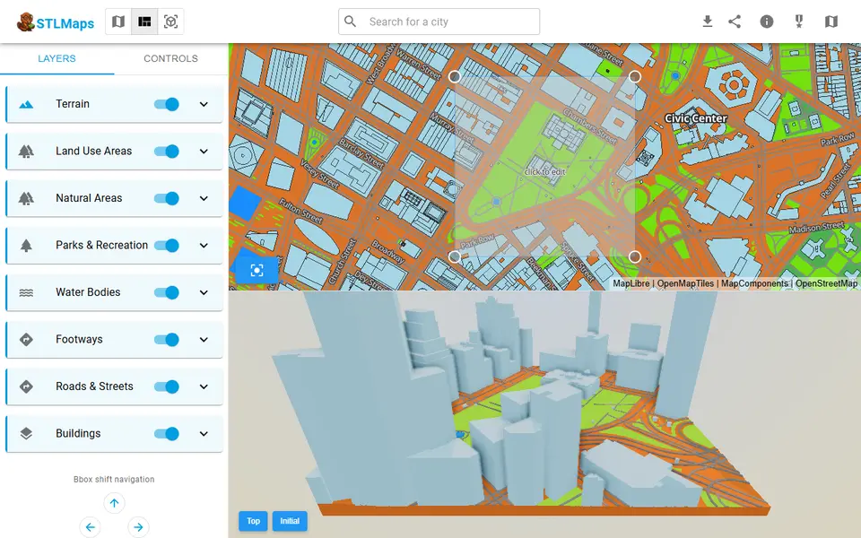
Draw a box on a city map and get its terrain, roads and buildings as STL or 3MF