What is Map2Model?
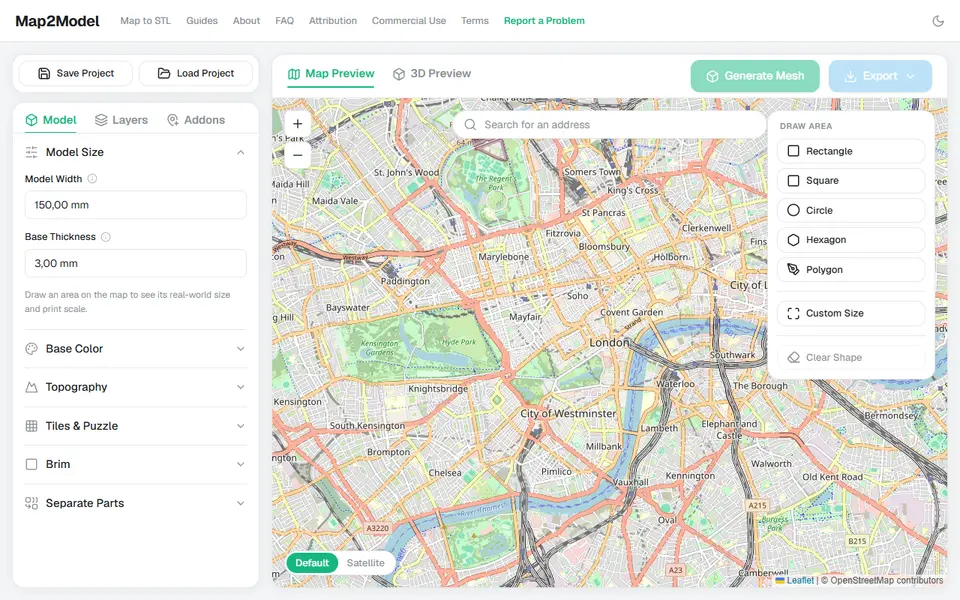
Map2Model turns any place you can find on a map into a 3D printable model. You search for a city, mountain or coastline, draw a rectangle, circle, hexagon or polygon around it, and the browser builds a model with real elevation plus buildings, roads, water and green areas from OpenStreetMap.
The export is where it stands out. You can download a single merged STL, or a multicolor 3MF where terrain, buildings, roads, water, parks and the frame are separate parts ready for an AMS or MMU. GPX tracks from Strava, Garmin or Komoot can be embossed onto the terrain as their own colored line, large areas can be split into puzzle tiles, and frames can carry a scale bar and north arrow.
It is free with no account and no watermark. Personal prints and gifts are fine, while commercial use needs a separate license. This is an independent rebuild of the idea behind the old map2model.com, which is offline.
What you can make
- City models with buildings
- Terrain relief maps
- GPX route maps
- Multicolor 3MF maps
- Puzzle map tiles
How to use Map2Model
- Search for a place
- Draw your area with the rectangle, circle, hexagon or polygon tool
- Generate the model and tweak exaggeration and features
- Export STL or multicolor 3MF
What you'll need to print it
Filament and parts that suit what you make with Map2Model.
Multicolor PLA
Multicolor filament systems
Matte PLA
- Bambu Lab PLA Matte (affiliate link) Amazon
- Polymaker Panchroma Matte PLA (formerly PolyTerra) (affiliate link) Polymaker EU: 3DJake (affiliate link)
Code gives 15% off your first order at Polymaker.
Some of these are affiliate links: we may earn a small commission, at no extra cost to you. More about that
Map2Model pros
- Multicolor 3MF with separate parts per feature
- Buildings, roads and water in one model
- GPX route embossing and puzzle tiles
Map2Model cons
- Commercial use is not included by default
- City detail depends on OpenStreetMap data
- Launched in mid 2026, so still evolving
Rate Map2Model
One rating per account. Signing in takes one email link, no password.
Reviews
Made with Map2Model
Read next
Map2Model alternatives
Terrain and map generators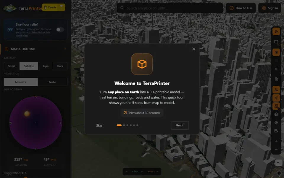
Maps & Terrain
TerraPrinter
Terrain of any place on Earth and 22 other worlds, with buildings, puzzles, globes and 18 gift makers
Maps & Terrain
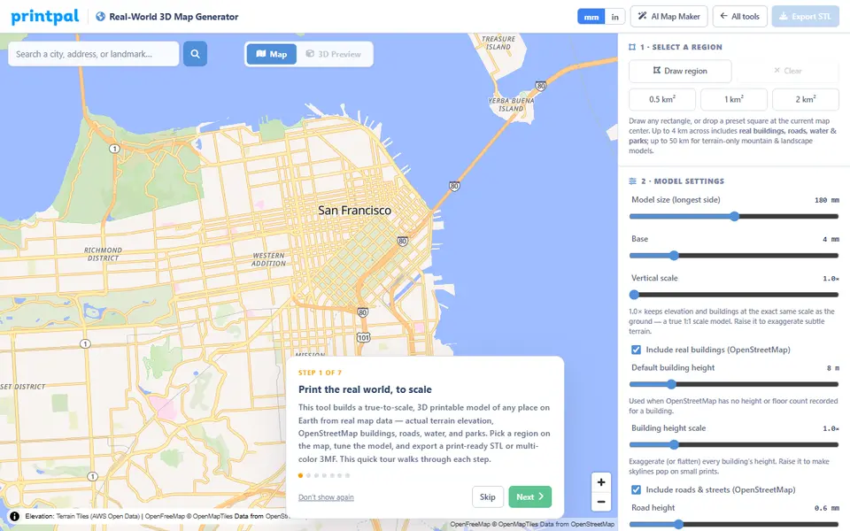
PrintPal Real-World 3D Map Generator
True-scale terrain and building maps from OSM data, exported as multicolor 3MF
Maps & Terrain
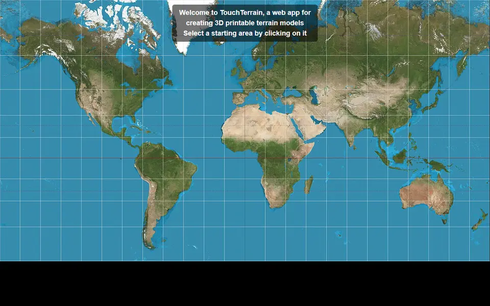
TouchTerrain
University-built web app that turns elevation data into printable terrain tiles
Maps & Terrain
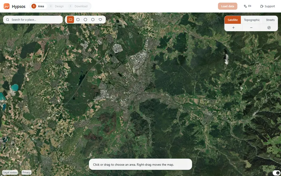
Hypsos
Free 3D map tiles of any place with terrain, streets, water, woods and buildings, as a color 3MF or STL
Maps & Terrain
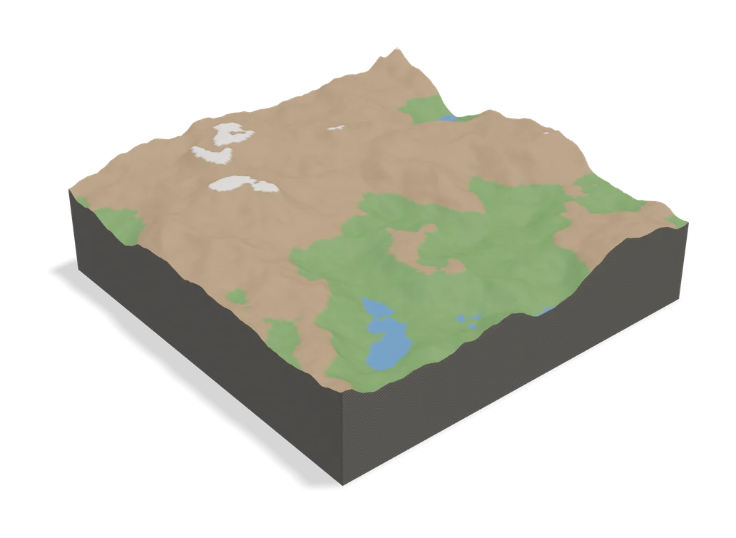
TopoTile Studio
Free local app that turns an OpenStreetMap area into a printable city and terrain model