TouchTerrain
University-built web app that turns elevation data into printable terrain tiles
Opens touchterrain.geol.iastate.edu
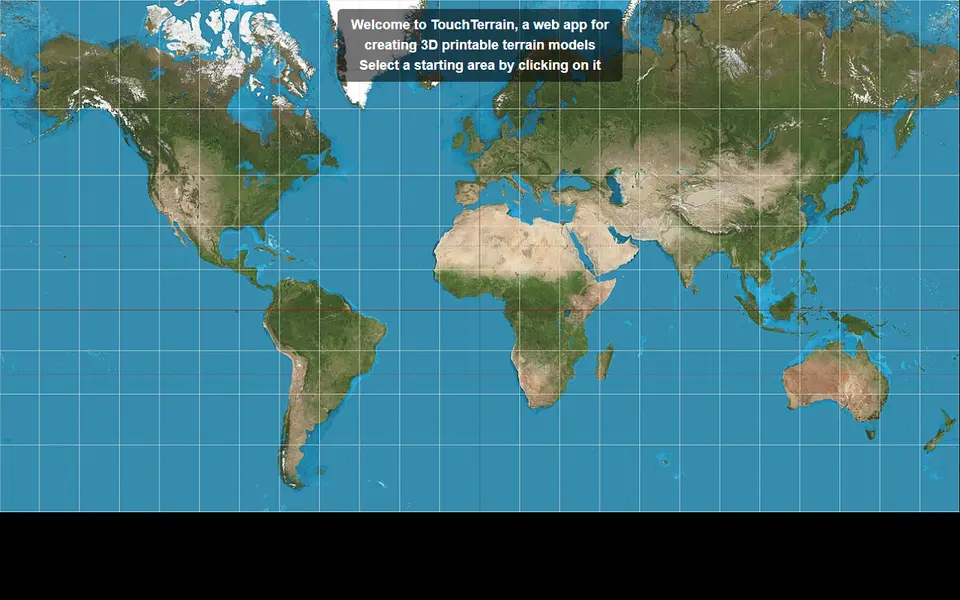
About TouchTerrain
TouchTerrain is a free web app from Iowa State University for making 3D printable terrain models. You pick an area on a map, set how big the print should be, and it sends back a zip with the model files and a log of what it did.
It draws on several elevation datasets through Google Earth Engine, including 10 m USGS data for the US and 30 m global sets, so results can be much sharper than older tools. Options cover vertical exaggeration, base thickness, resolution matched to your nozzle size and splitting a large area into several tiles that you print and glue together. You can also load a KML polygon to print an irregular shape, and GPX tracks can be draped onto the terrain.
It is popular with teachers, geologists and hikers, and the code is open source for anyone who wants to run it locally with their own GeoTIFF files.
What you can make
- Terrain tiles
- Multi-tile large relief maps
- Terrain with GPX tracks
- Classroom landform models
How to use it
- Click a starting area on the map
- Adjust the selection box, print size and exaggeration
- Choose tile count and base thickness
- Export and download the zip with your model files
Good
- Higher resolution data sources than most free tools
- Splits big areas into printable tiles
- Open source and research backed
Not so good
- Interface feels technical compared with newer apps
- Very large requests can hit server size limits
- Terrain only, no buildings or colour parts
What you'll need to print it
Materials and parts that give the best results with TouchTerrain.
Matte PLA for signs and Gridfinity
Matte filament hides layer lines and cuts glare, so raised lettering on signs and nameplates stays readable from any angle and a drawer full of bins looks uniform.
- Bambu Lab PLA MatteWide colour range with AMS-ready RFID, ideal for multi-colour signs.
- Polymaker Panchroma Matte PLA (formerly PolyTerra)The former PolyTerra line under a new name: soft matte look and good value for printing Gridfinity in bulk.
- SUNLU Matte PLALow-cost matte option for large batches of bins and baseplates.
Large-format printers
A bigger bed prints a full Gridfinity baseplate or a large terrain map in one piece, avoiding seams, glue joints and alignment errors.
- Bambu Lab A2L330 x 320 x 325 mm for $469 ($569 with AMS lite): the cheapest easy large-format option, fits 7 x 7 Gridfinity units.
- Creality K2 Plus ComboEnclosed 350 mm-class build volume with the CFS multicolour system included ($1,199 on sale in Sept 2026).
- Sovol SV08 Max500 x 500 x 500 mm CoreXY ($1,099 on sale) for oversized terrain and full-drawer baseplates; more tinkering than a Bambu.
Some of these are affiliate links: we may earn a small commission, at no extra cost to you. More about that
Read next
Alternatives to TouchTerrain
All maps & terrain generators
Maps & Terrain
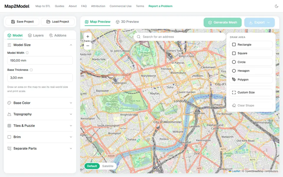
Map2Model
Draw an area on a map and export a city or terrain model as STL or multicolour 3MF