Terrain2STL
Drag a box over any spot on Earth and download the terrain as an STL
Opens jthatch.com
About Terrain2STL
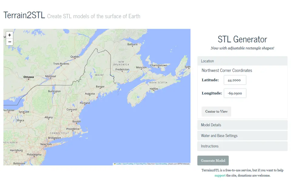
Terrain2STL is one of the oldest and simplest ways to turn a real landscape into a printable file. You move a square selection box over a map, choose how large an area it covers, and the site builds an STL of the ground inside it using the SRTM elevation survey from 2000.
The settings are short and easy to follow: box size and rotation, a vertical scale factor to make hills stand out, a base thickness in millimetres, and a water drop option that lowers the sea so coastlines read clearly. There is no sign-up and no fee, and the project is supported by donations.
The trade-off is detail. The source data has roughly 90 metre resolution, so it shines on mountains, islands and valleys, while small hills and city-scale features come out soft. It suits anyone who wants a quick single-colour relief print of a favourite peak without learning GIS software.
What you can make
- Mountain relief tiles
- Island and coastline models
- Valley and canyon terrain
- Topographic desk pieces
How to use it
- Open the map and move the selection box to your area
- Set box size, vertical scale and base height
- Click to create the STL and download it
- Slice and print
Good
- No account and no cost
- Very few settings, so first prints are quick
- Water drop setting makes coastlines pop
Not so good
- About 90 m elevation data, so fine detail is lost
- Square box selection only, no custom shapes
- No buildings, roads or multicolour parts
What you'll need to print it
Materials and parts that give the best results with Terrain2STL.
Matte PLA for signs and Gridfinity
Matte filament hides layer lines and cuts glare, so raised lettering on signs and nameplates stays readable from any angle and a drawer full of bins looks uniform.
- Bambu Lab PLA MatteWide colour range with AMS-ready RFID, ideal for multi-colour signs.
- Polymaker Panchroma Matte PLA (formerly PolyTerra)The former PolyTerra line under a new name: soft matte look and good value for printing Gridfinity in bulk.
- SUNLU Matte PLALow-cost matte option for large batches of bins and baseplates.
Some of these are affiliate links: we may earn a small commission, at no extra cost to you. More about that
Read next
Alternatives to Terrain2STL
All maps & terrain generators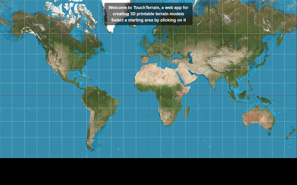
Maps & Terrain
TouchTerrain
University-built web app that turns elevation data into printable terrain tiles
Maps & Terrain
Map2Model
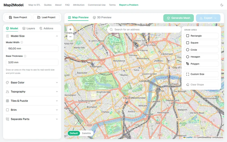
Draw an area on a map and export a city or terrain model as STL or multicolour 3MF