CartTerra
High resolution US terrain from USGS LiDAR data, with a free preview STL
Opens cartterra.com
About CartTerra
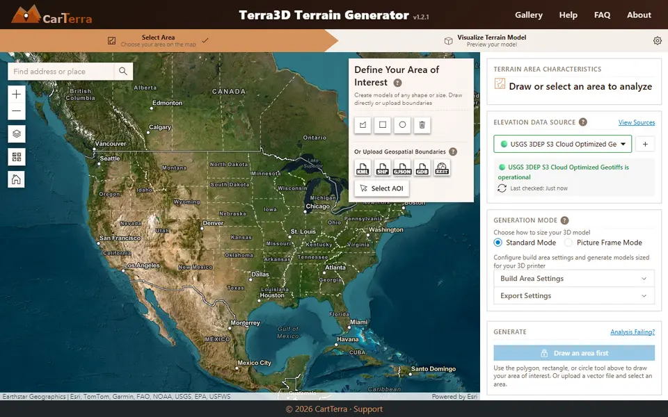
CartTerra is a terrain generator built around high resolution US elevation data, including USGS 3DEP and some state LiDAR datasets. You draw an area of any shape on the map or upload a boundary file such as KML, Shapefile or GeoJSON, and it previews the terrain in 3D before you commit.
The tool shows the relief and roughness of your area, lets you raise or lower the output resolution, and warns you when a mesh is likely to be too heavy for a slicer. You can download a lower detail preview STL for free. The full resolution model is a flat price per download, with STL as the default and 3MF or GLB available as paid extras. Payment runs through PayPal and download links expire after two days.
Coverage is the main limit, since the data is focused on the United States. It is a strong pick for detailed prints of US parks, ski areas and properties where Terrain2STL style 90 m data is too coarse.
What you can make
- High detail US terrain models
- Property and parcel terrain
- National park relief models
- Custom shaped terrain from boundary files
How to use it
- Draw an area on the map or upload a boundary file
- Check the preview and adjust resolution
- Download the free preview or buy the full model
- Slice and print
Good
- Much finer US elevation data than global tools
- Accepts KML, Shapefile and GeoJSON boundaries
- Free preview download before paying
Not so good
- Focused on the United States
- Full resolution costs per model
- No buildings or multicolour parts
What you'll need to print it
Materials and parts that give the best results with CartTerra.
Matte PLA for signs and Gridfinity
Matte filament hides layer lines and cuts glare, so raised lettering on signs and nameplates stays readable from any angle and a drawer full of bins looks uniform.
- Bambu Lab PLA MatteWide colour range with AMS-ready RFID, ideal for multi-colour signs.
- Polymaker Panchroma Matte PLA (formerly PolyTerra)The former PolyTerra line under a new name: soft matte look and good value for printing Gridfinity in bulk.
- SUNLU Matte PLALow-cost matte option for large batches of bins and baseplates.
Some of these are affiliate links: we may earn a small commission, at no extra cost to you. More about that
Read next
Alternatives to CartTerra
All maps & terrain generators
Maps & Terrain
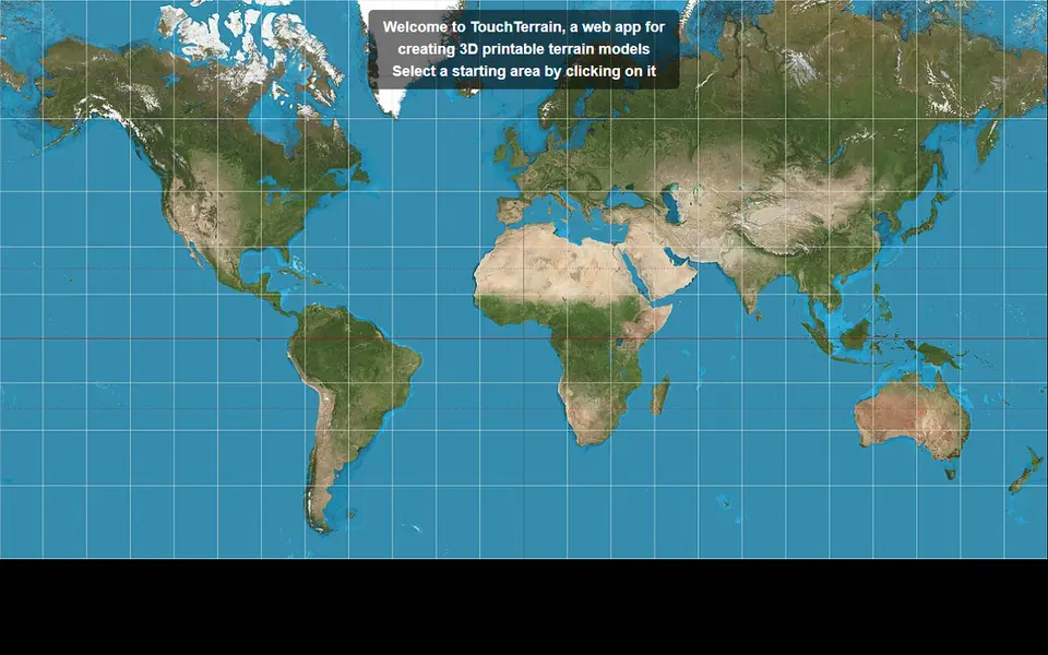
TouchTerrain
University-built web app that turns elevation data into printable terrain tiles