Maps & Terrain · Comparison
Print Any Place: The Best Terrain and Map Generators
Mountains, cities, running routes, the Moon and Mars. The best generators for turning real places into 3D prints, free and paid, compared.
Quick comparison
| Generator | Best for | Price | Files | Link |
|---|---|---|---|---|
| 01Terrain2STL | Quick mountain and island relief prints | Free | STL | Open |
| 02TouchTerrain | Accurate terrain tiles for classrooms and hikers | Free | STL, OBJ | Open |
| 03TerraPrinter | Experimental terrain, hex tiles and map puzzles | Free | STL, 3MF, OBJ, GLB | Open |
| 04Map2Model | Multicolour city and hometown maps | Free | STL, 3MF | Open |
| 05OrbitStudio | Space fans, science gifts and puzzle lovers | Freemium | STL, 3MF | Open |
| 06GPXtruder | Race and ride elevation keepsakes | Free | STL | Open |
| 07Touch Mapper | Accessible maps for blind and low-vision users | Free | STL | Open |
| 083D Moon Map | Printing real lunar craters | Free | STL | Open |
| 09Star Map Generator (MakerLab) | Date-based sky map gifts | Freemium | 3MF | Open |
Maps are one of the most rewarding things to print: a mountain you climbed, the island where you got married, the route of your first marathon, or a crater on the Moon. All of them start from real elevation data, and all of them can be made without touching CAD.
Quick answer
- Best free terrain generator: Terrain2STL. Drag a box on the map, download the STL.
- Best for control over the output: TouchTerrain, a university-built tool that makes printable terrain tiles.
- Best for cities and multicolour: Map2Model and TerraPrinter, both free and able to export 3MF.
- Best for running and cycling routes: GPXtruder.
- Best for the Moon and Mars: OrbitStudio (made by us).
Mountains and landscapes
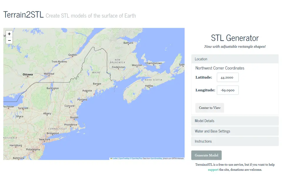
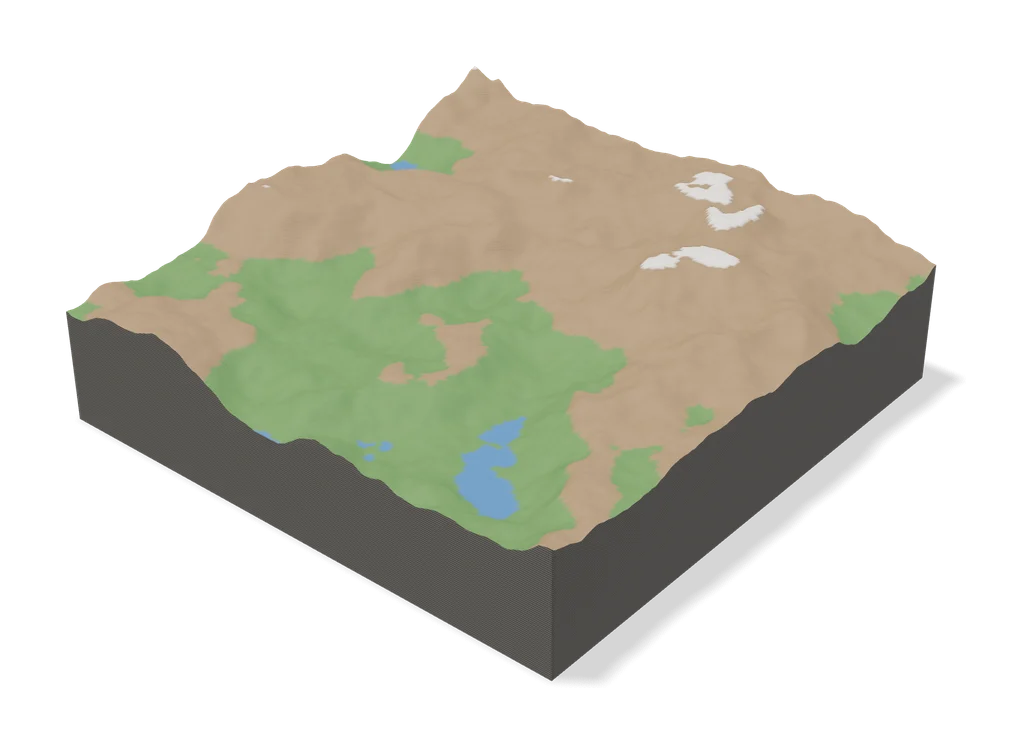
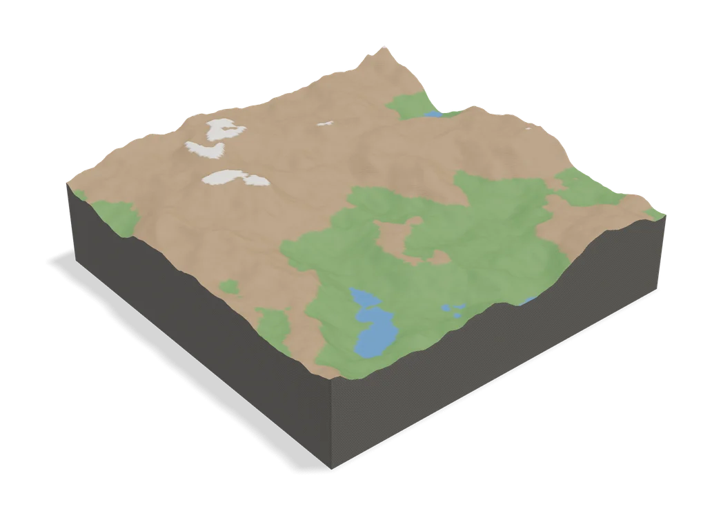
Terrain2STL is the classic: free, no account, drag a box over any spot on Earth and download the terrain as an STL. It has been around for years and just works.
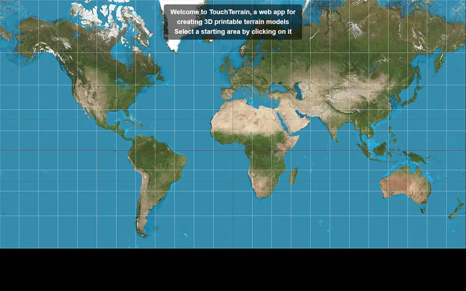
TouchTerrain comes from a university research group and gives you more control over tile size, resolution and base thickness. It exports STL and OBJ and can split big areas into several tiles.
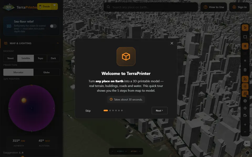
TerraPrinter is the most feature-packed free option: it can add OpenStreetMap features such as roads and water, and it offers hex tiles, puzzle and voxel styles, with STL, 3MF, OBJ and GLB export.
Cities and buildings
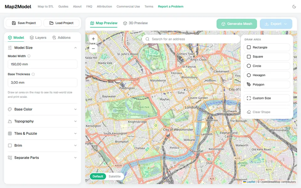
Map2Model lets you draw an area on a map and export a city or terrain model, including a multicolour 3MF with separate colours for buildings, roads and water. It is free for personal use.
Paid options such as PrintPal’s map generator and City3DPrint produce polished multicolour city blocks, if you prefer to pay for a ready result.
Routes and tracks
GPXtruder turns a GPX file from your watch or app into a 3D elevation profile of the route. It is free and needs no account. GPXTrack.xyz does something similar and adds a base with a title, exported as 3MF.
Maps you can feel
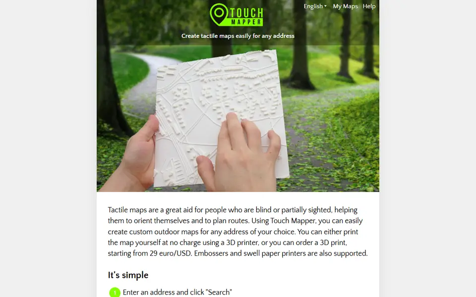
Touch Mapper makes tactile street maps for blind and low-vision people: type an address and download a map with raised streets and buildings. It is free to print yourself.
The Moon, Mars and the stars
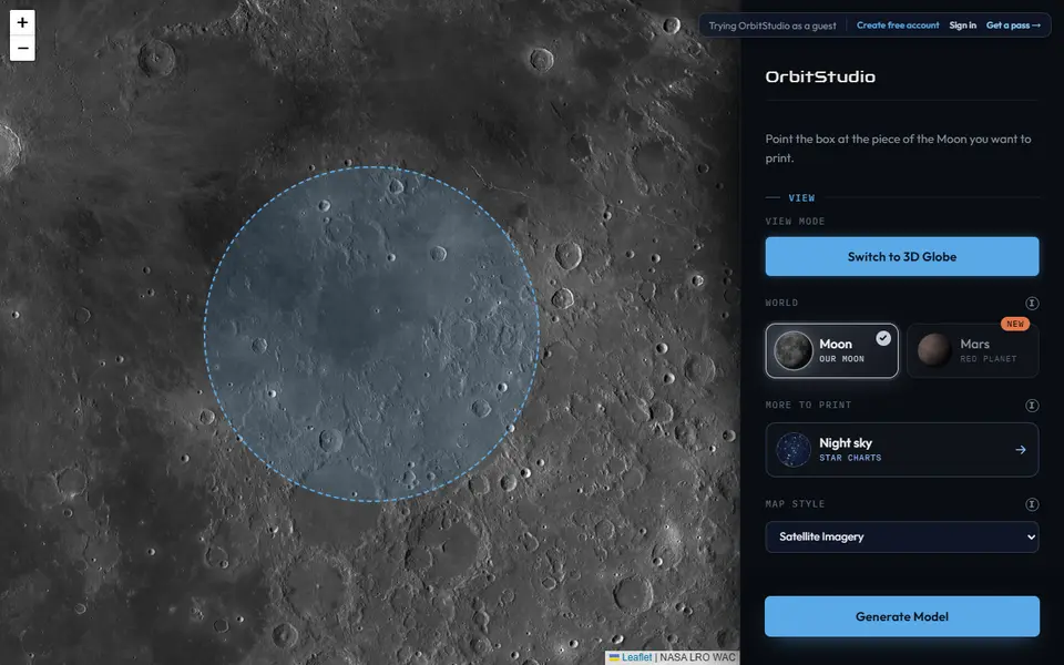
OrbitStudio builds Moon and Mars terrain from NASA elevation data. You frame a crater or landing site and get a snap-together jigsaw puzzle or a solid ornament, in a circle, square or hexagon. STL downloads are free without an account; pre-coloured 3MF files use a one-time pass. Full disclosure: we make OrbitStudio.
3D Moon Map is a free viewer of NASA lunar data that exports any view as an STL.
For the night sky, the MakerLab Star Map Generator and our own StellarMesh print the stars as they were over a place on a date you choose.
Tips for great terrain prints
- Exaggerate the height. 1.5x to 3x is normal for hills; mountains need less.
- Print at 0.12 to 0.16 mm layers so slopes look smooth instead of stepped.
- Use a matte filament to hide layer lines, or a multicolour setup to paint water blue.
- Add a base of 2 to 3 mm so thin coastal areas don’t break.
Frequently asked questions
How do I 3D print a map of a real place?
Open a terrain generator such as Terrain2STL or TouchTerrain, draw a box over the area you want, set the size and height exaggeration, and download the STL. For cities with buildings, use a tool that reads OpenStreetMap data, such as Map2Model or TerraPrinter.
Why does my terrain print look flat?
At true scale, most landscapes are very flat compared with their width. Increase the vertical exaggeration (often 1.5x to 3x) so hills and valleys stand out.
Can I print the Moon?
Yes. OrbitStudio builds Moon and Mars terrain from NASA elevation data as puzzles or ornaments, and 3D Moon Map exports any view of the Moon as an STL.
What is the best filament for terrain prints?
Matte PLA hides layer lines on slopes and looks natural. Greys and earth tones work well; multicolour prints can separate water, land and buildings.
What you'll need
Matte PLA for signs and Gridfinity
Matte filament hides layer lines and cuts glare, so raised lettering on signs and nameplates stays readable from any angle and a drawer full of bins looks uniform.
- Bambu Lab PLA MatteWide colour range with AMS-ready RFID, ideal for multi-colour signs.
- Polymaker Panchroma Matte PLA (formerly PolyTerra)The former PolyTerra line under a new name: soft matte look and good value for printing Gridfinity in bulk.
- SUNLU Matte PLALow-cost matte option for large batches of bins and baseplates.
Multicolour PLA for keychains and HueForge
Dual- and tri-colour silks give a single-nozzle printer colour shifts with no extra hardware, and a matched colour set is what lets HueForge and colour lithophanes blend thin layers into a full image.
- Bambu Lab PLA Silk Multi-ColorCo-extruded dual and tri colours that shift with the viewing angle; great for keychains and name tags.
- SUNLU Multi-Color Silk PLA (dual/tri/four-colour)Budget dual-, tri- and four-colour silk for colourful prints without an AMS.
- Bambu Lab PLA CMYK Lithophane BundleFour 1 kg spools (cyan, magenta, yellow, white) made for colour lithophanes and handy for HueForge-style layering.
Large-format printers
A bigger bed prints a full Gridfinity baseplate or a large terrain map in one piece, avoiding seams, glue joints and alignment errors.
- Bambu Lab A2L330 x 320 x 325 mm for $469 ($569 with AMS lite): the cheapest easy large-format option, fits 7 x 7 Gridfinity units.
- Creality K2 Plus ComboEnclosed 350 mm-class build volume with the CFS multicolour system included ($1,199 on sale in Sept 2026).
- Sovol SV08 Max500 x 500 x 500 mm CoreXY ($1,099 on sale) for oversized terrain and full-drawer baseplates; more tinkering than a Bambu.
Some of these are affiliate links: we may earn a small commission, at no extra cost to you. More about that
Every generator in this guide
Maps & Terrain
TouchTerrain
University-built web app that turns elevation data into printable terrain tiles
Maps & Terrain
TerraPrinter
Browser terrain maker with OSM features, hex tiles, puzzle and voxel styles
Maps & Terrain
Map2Model
Draw an area on a map and export a city or terrain model as STL or multicolour 3MF
 Made by us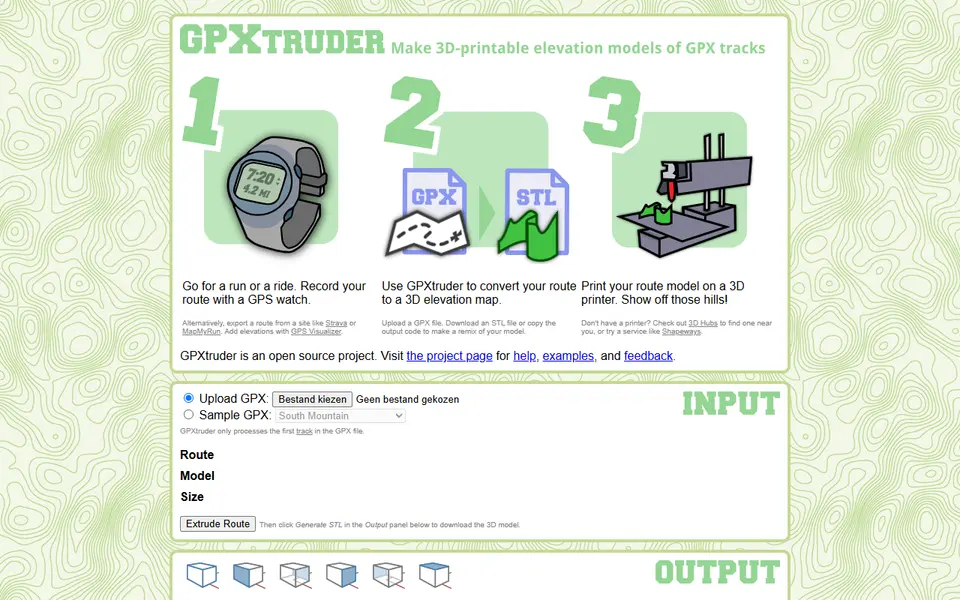
Maps & Terrain
Touch Mapper
Type an address and get a tactile street map for blind and low-vision users
Maps & Terrain
Star Map Generator (MakerLab)
Printable two colour star map of the real sky for any place and date