Open Ski Model
Free, open-source mountain terrain models with an engraved name plinth, rectangle, circle or hex, STL or STEP
Open Ski Model is a free browser tool for a desk model of your favorite ski mountain. Free, no account, open source. Exports STL and STEP. Last checked .
Opens openski.craftedcarving.com
What is Open Ski Model?
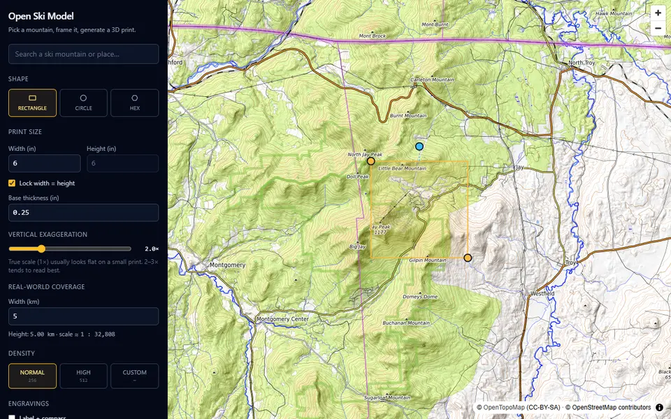
Open Ski Model makes a topographic model of a ski mountain, or any other place. You search a name, frame a box on a topo map and click Generate, and it builds a watertight model with a 3D preview that has hillshade and contour lines. What sets it apart from the other terrain tools listed here is the finish: an optional beveled plinth with the place name and a north arrow engraved into the south rim, and a STEP export next to the STL.
You choose a rectangle, circle or hexagon footprint, the print width and height and base thickness in inches, the real-world coverage in km, vertical exaggeration (2x by default) and a mesh density of 256, 512 or a custom value. Inside the US it uses USGS 3DEP elevation data, typically 10 m and sometimes 1 m; elsewhere it uses AWS open terrain tiles. Every setting is saved in the URL, so a link reopens the same model.
It is free, needs no account and the code is on GitHub under the MIT license. A craftedcarving.com mark is engraved on the bottom by default; you can switch it off. The site credits OpenTopoMap (CC BY-SA) and OpenStreetMap contributors for the map, and says nothing about selling prints. It suits skiers and hikers who want a desk model of a mountain with its name on it.
What you can make
- Ski mountain terrain models
- Terrain on a plinth with name and north arrow
- Round and hexagonal terrain tiles
- STEP terrain solids for CAD
How to use Open Ski Model
- Search a mountain and frame the area on the map
- Pick the shape, print size and vertical exaggeration
- Switch the name and compass plinth on or off and generate
- Export the STL for your slicer, or STEP for CAD
What you'll need to print it
Filament and parts that suit what you make with Open Ski Model.
White PLA
Matte PLA
Some of these are affiliate links: we may earn a small commission, at no extra cost to you. More about that
Open Ski Model pros
- Engraved plinth with the place name and a north arrow
- USGS 1 to 10 m elevation data inside the US
- Free, open source, and every setting saved in a shareable link
Open Ski Model cons
- Large files: the default 6 in model came out at about 84 MB
- Sizes are set in inches, and a maker mark is engraved underneath unless you turn it off
Rate Open Ski Model
One rating per account. Signing in takes one email link, no password.
Reviews
Made with Open Ski Model
Read next
Open Ski Model alternatives
Terrain and map generators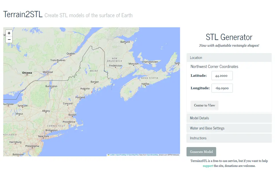
Maps & Terrain
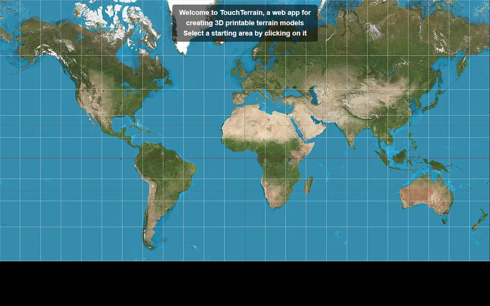
TouchTerrain
University-built web app that turns elevation data into printable terrain tiles
Maps & Terrain
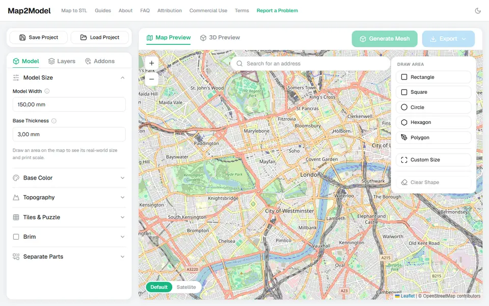
Map2Model
Draw an area on a map and export a city or terrain model as STL or multicolor 3MF
Maps & Terrain
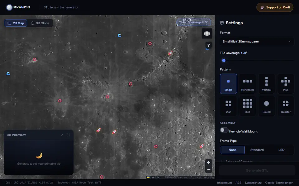
MoonToPrint
Free lunar terrain tiles from NASA LOLA data, as one tile or 2x2, 3x3 and round sets with frames, STL
Maps & Terrain
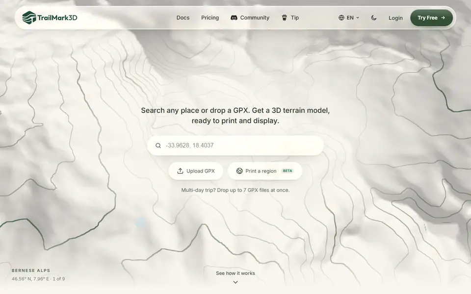
TrailMark3D
Terrain models of a place or GPX route with water, landcover and jigsaw split, STL or 3MF; free account to download
Maps & Terrain
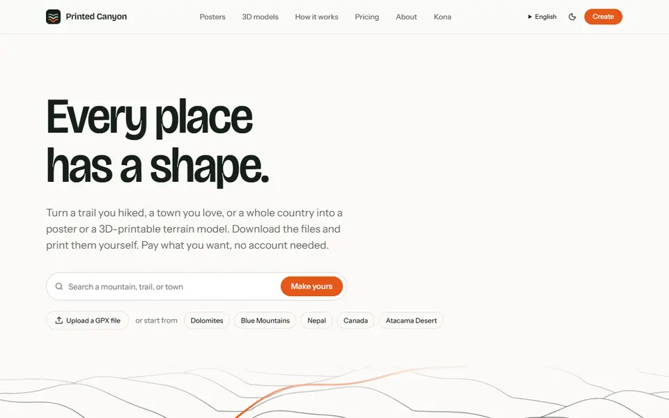
Printed Canyon
Pay-what-you-want terrain models and posters from a place or GPX route, as STL, 3MF or GLB, no account