TrailMark3D
Terrain models of a place or GPX route with water, landcover and jigsaw split, STL or 3MF; free account to download
TrailMark3D is a freemium browser tool for a multi-color terrain print of a route, with blue water. Free account: 5 models a day, personal use; Pro $10/month, Pro Plus $15/month. Exports STL and 3MF. Last checked .
Opens trailmark3d.com
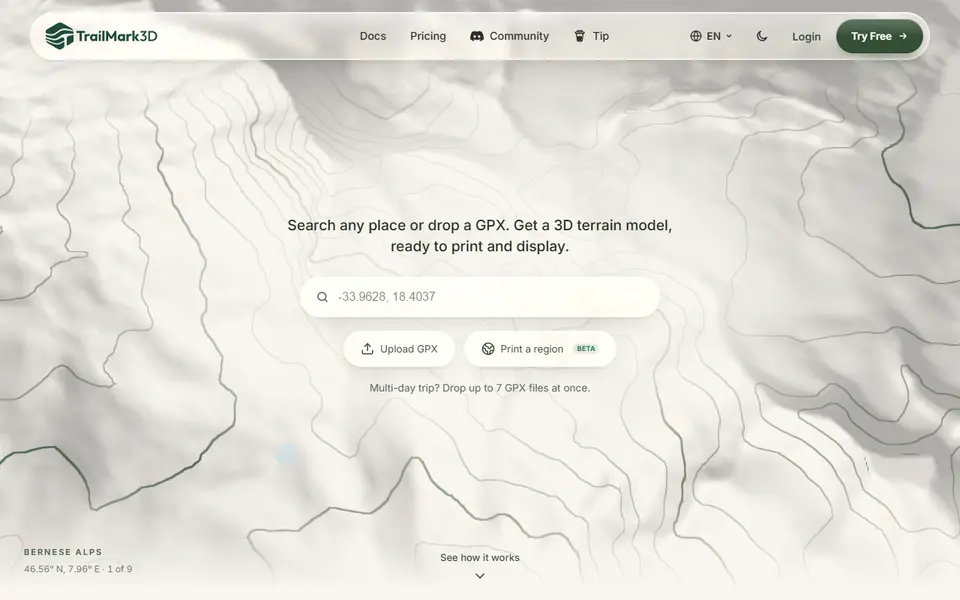
What is TrailMark3D?
TrailMark3D turns a searched place or a GPX track into a terrain model on a flat base. You search a summit, park, city or coordinates, or drop the GPX from your watch or app, then drag, resize and rotate the area on a map. Your route becomes a raised ribbon, or a separate piece that slots into a channel for a second color. Compared with most terrain generators listed here, the extra parts are the point: seas, lakes and rivers come in as their own colored part, landcover and contour lines can be added, and any model can be cut into an interlocking jigsaw with clearance for FDM printing.
The workspace has activity presets (hiking, trail run, cycling and more), square, circle, hexagon and octagon shapes, vertical exaggeration, base height and trail width and height. A separate frame builder sizes a printable frame with raised text around a tile. Pro adds City Mode with buildings and roads, satellite-based colors, multi-day trips of up to 7 GPX files and extension tiles that line up into a bigger map. Downloads are STL per part, or 3MF with the colors and puzzle pieces kept separate.
You can generate a preview without an account, but downloading needs a free account. The free plan gives 5 models a day, standard detail, areas up to 200 km and puzzles up to 6x6, for personal use only. Pro is $10 a month and Pro Plus $15 a month. The terrain and water come from open data (OpenStreetMap under the ODbL, Overture Maps, HydroLAKES and GRWL under CC BY 4.0, Copernicus and other elevation sources), and the terms ask you to keep the credits that come in each download's license bundle when you share a model. It suits hikers and cyclists with a multi-color printer who want a route print with blue water.
What you can make
- Terrain models of a place or GPX route
- Routes as a raised or slot-in ribbon
- Water and landcover as separate colors
- Terrain jigsaw puzzles
- Frames with raised text for a tile
How to use TrailMark3D
- Search a place or drop a GPX file
- Move, resize and rotate the area on the map
- Pick the shape, water, landcover and puzzle options and generate
- Sign in and download the STL or 3MF
What you'll need to print it
Filament and parts that suit what you make with TrailMark3D.
Matte PLA
Multicolor filament systems
Some of these are affiliate links: we may earn a small commission, at no extra cost to you. More about that
TrailMark3D pros
- Water, landcover, route and terrain as separate colors in one 3MF
- Jigsaw split with FDM clearance, each piece its own part
- Search a place or drop a GPX, with activity presets
TrailMark3D cons
- Downloading needs an account, and the free plan is personal use only
- City Mode, multi-day trips, extension tiles and high detail are paid
Rate TrailMark3D
One rating per account. Signing in takes one email link, no password.
Reviews
Made with TrailMark3D
Read next
TrailMark3D alternatives
Terrain and map generators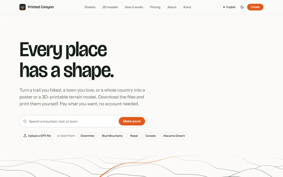
Maps & Terrain
Printed Canyon
Pay-what-you-want terrain models and posters from a place or GPX route, as STL, 3MF or GLB, no account
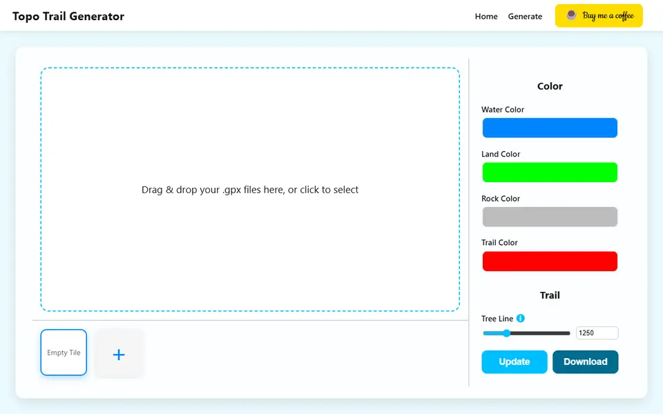
Maps & Terrain
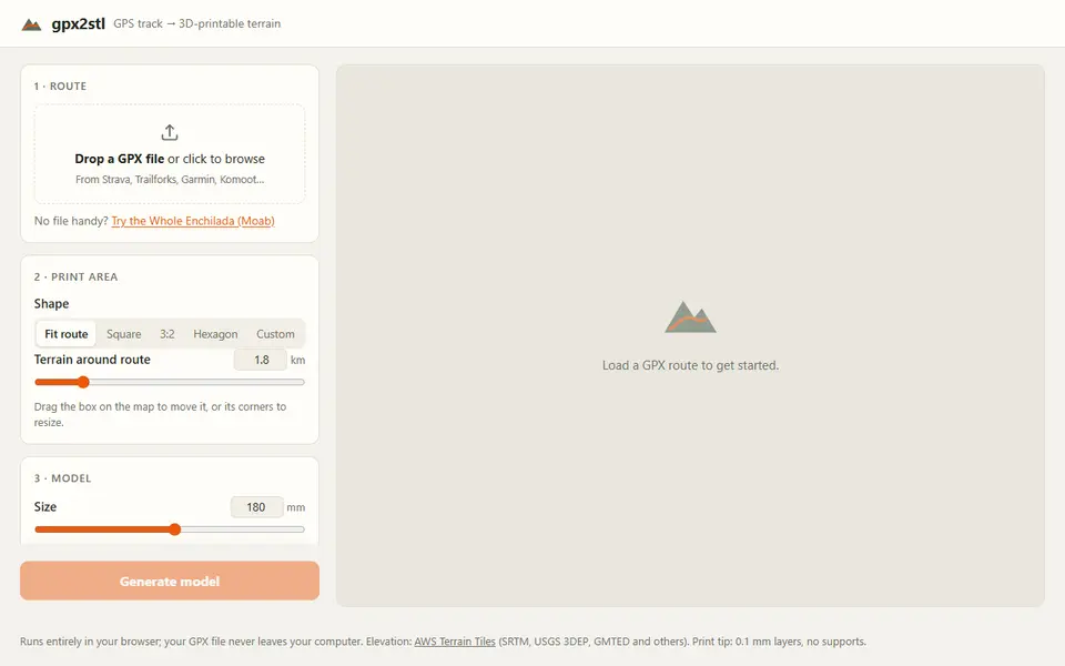
gpx2stl
Free browser tool that turns a GPX track into a terrain relief with the route as a ridge, groove or color inlay
Maps & Terrain
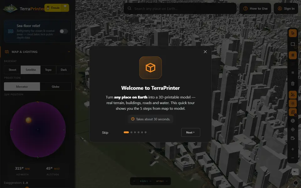
TerraPrinter
Browser terrain maker with OSM features, hex tiles, puzzle and voxel styles
Maps & Terrain
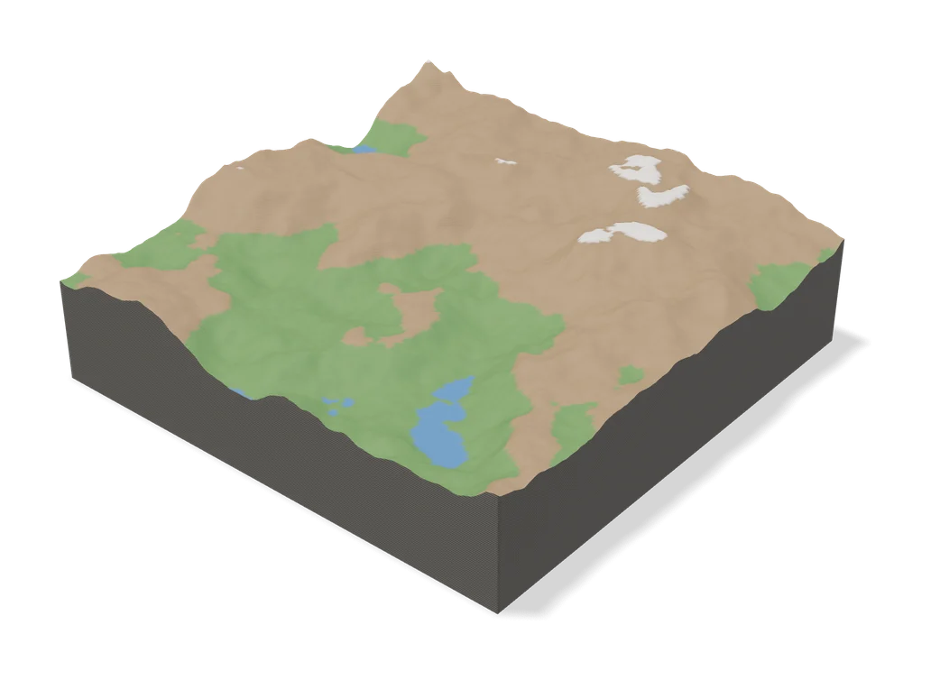
Terrain 6
Browser generator that turns any trail, summit or place on Earth into a 3D topographic jigsaw puzzle
 Made by us
 Maps & Terrain
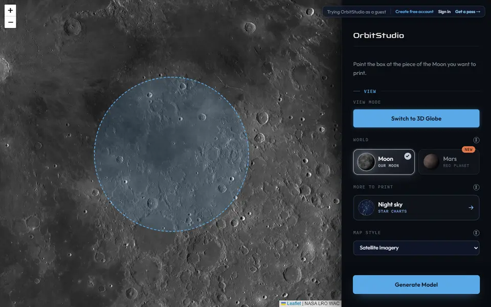
OrbitStudio
Print any place on the Moon or Mars as a snap-together puzzle or ornament