TopoTrail
Turns GPX tracks into 3D terrain maps with your route raised on top
TopoTrail is a free browser tool for keepsake maps of a favorite hike, ride or run. Free with no account. The site describes itself as non-commercial and shows an optional Buy Me a Coffee tip button. Exports OBJ. Last checked .
Opens topotrail.com
What is TopoTrail?
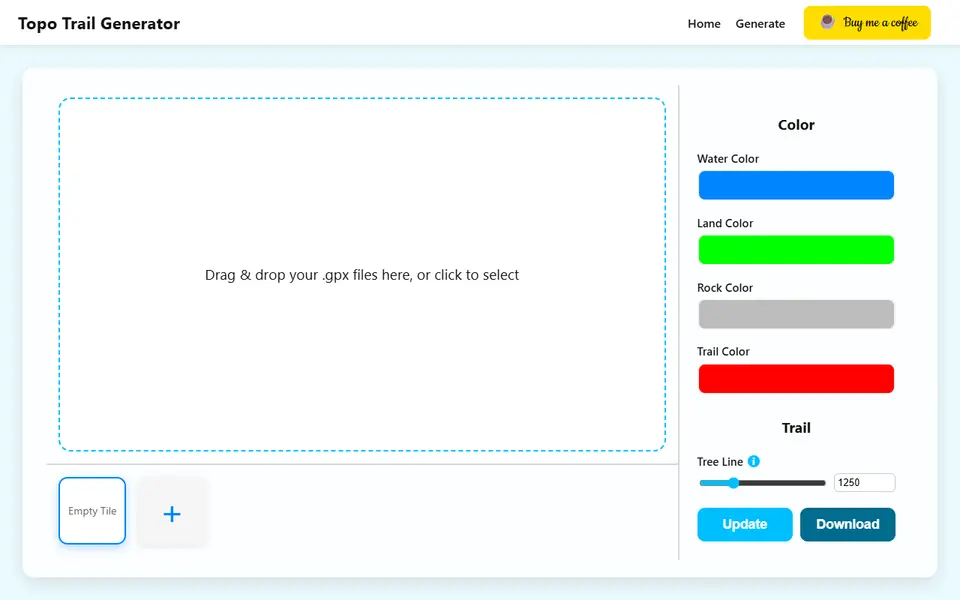
TopoTrail is a free browser tool that turns the GPX track of a hike, ride or run into a small 3D terrain tile with the route raised on top. You drop one or more .gpx files onto the page, the site's server builds the landscape around them from 30 m ASTER elevation data, and a slowly turning 3D preview shows the result before you download anything.
The settings are short but cover what matters for a print. You pick a hexagon, square, octagon or circle base, set its size and thickness, and choose how much margin the trail keeps from the edge. A height scale slider exaggerates the hills, trail width and height are adjustable, and you can use the elevation stored in the GPX file instead of the map data. Seas and lakes are on by default, rivers and OpenStreetMap buildings can be switched on, and a tree line altitude sets where the land color turns to rock color. Several GPX files can share one map.
The download is a ZIP of OBJ files: one terrain mesh with water, land and rock stored as vertex colors, one file per trail, and a buildings file when those are on. It suits hikers, cyclists and runners who want a keepsake of one specific route.
What you can make
- Hiking, cycling and running trail maps
- Hexagon, square, octagon and circle terrain tiles
- Maps with several routes on one base
- Terrain with lakes, rivers and OpenStreetMap buildings
How to use TopoTrail
- Open the generator and drop in one or more .gpx files
- Pick a base shape and size, then adjust height scale, trail width and colors
- Turn on rivers or buildings if you want them and click Update to refresh the preview
- Click Download, unzip the OBJ files and drag them all into your slicer at once
What you'll need to print it
Filament and parts that suit what you make with TopoTrail.
Multicolor PLA
Multicolor filament systems
Some of these are affiliate links: we may earn a small commission, at no extra cost to you. More about that
TopoTrail pros
- Free and needs no account, only the GPX file your watch or route app already exports
- Seas, lakes, rivers and buildings come from map data, so the tile looks like the real area without any modeling
- Each trail and the buildings download as separate OBJ parts and the terrain keeps its water, land and rock colors, which helps with a multi-color print
TopoTrail cons
- Exports OBJ files in a ZIP only, with no STL or 3MF; water, land and rock are vertex colors inside one terrain mesh, so your slicer has to read OBJ colors or you paint them yourself
- Everything starts from a GPX file; there is no way to draw a route or pick an area on a map
- A small non-commercial site its maker described as in development in September 2026; maps are built on its server, which keeps elevation data from your GPX for up to 7 days
Rate TopoTrail
One rating per account. Signing in takes one email link, no password.
Reviews
Made with TopoTrail
Read next
TopoTrail alternatives
Terrain and map generators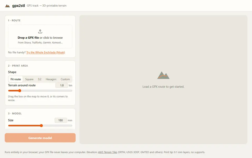
Maps & Terrain
gpx2stl
Free browser tool that turns a GPX track into a terrain relief with the route as a ridge, groove or color inlay
Maps & Terrain
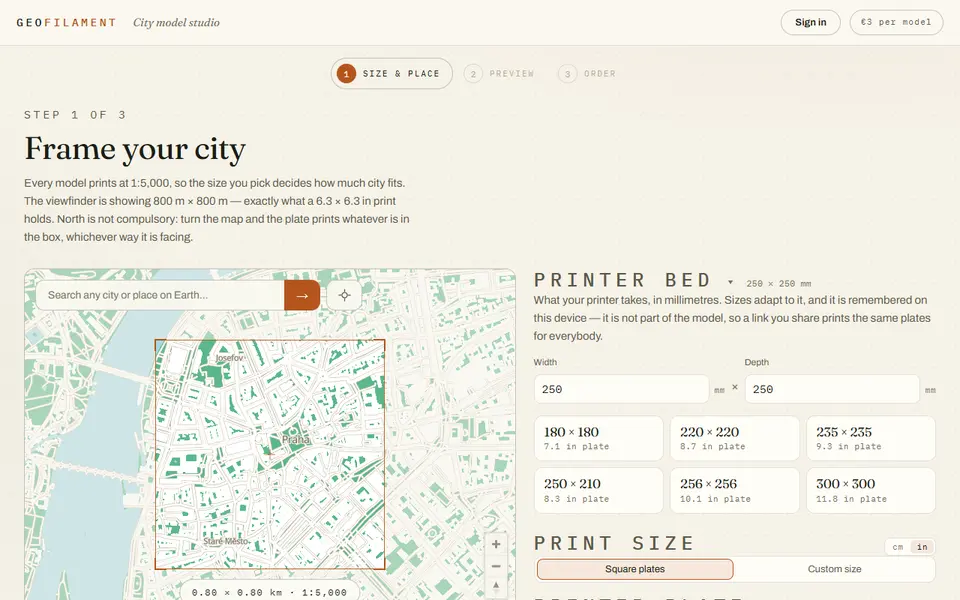
GeoFilament
Any place on Earth as a multicolor city model at 1:5,000, from 3 EUR per model with a free in-browser preview
Maps & Terrain
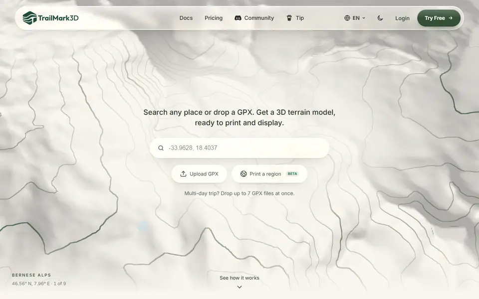
TrailMark3D
Terrain models of a place or GPX route with water, landcover and jigsaw split, STL or 3MF; free account to download
Maps & Terrain
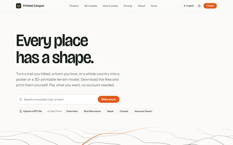
Printed Canyon
Pay-what-you-want terrain models and posters from a place or GPX route, as STL, 3MF or GLB, no account
Maps & Terrain
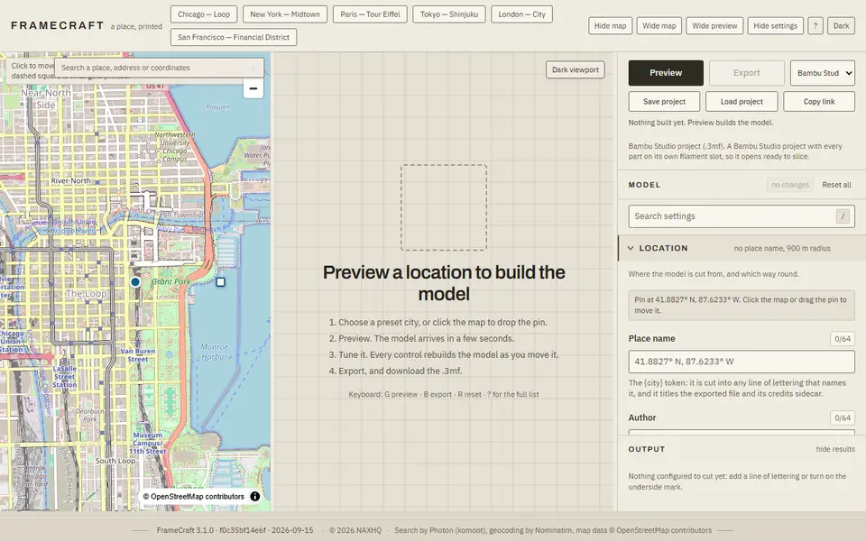
FrameCraft
Free browser app that turns any OpenStreetMap location into a framed miniature city, with a multicolor Bambu 3MF
 Made by us
 Maps & Terrain
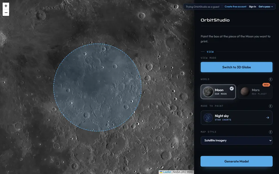
OrbitStudio
Print any place on the Moon or Mars as a snap-together puzzle or ornament