What is gpx2stl?
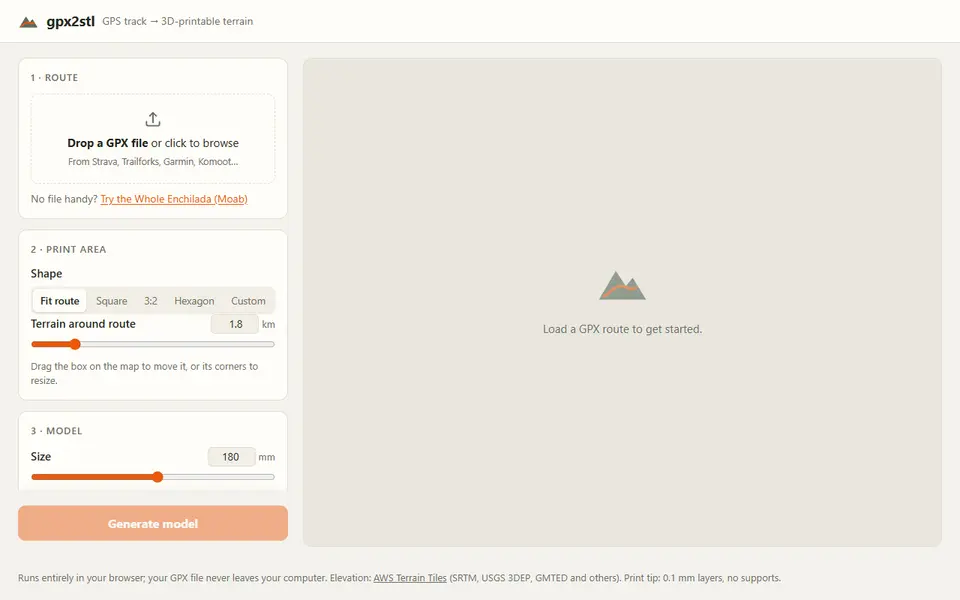
gpx2stl turns a GPS track into a printable piece of landscape with your route marked on it. You drop in a GPX file from Strava, Garmin, Komoot or a similar app, or try the built-in example route from Moab. You can trim the start and finish, then choose the print area on a topographic map: fit to the route, square, 3:2, hexagon or a custom box you drag and resize.
Under the model settings you set the size (180 mm on the longest side by default), vertical exaggeration, the margin of terrain around the route and three detail levels. The trail can be a raised ridge, a carved groove or a separate inlay that prints in another color and drops into a slot, with a test-fit piece to check the clearance. Start and finish markers come in several shapes and face the direction of travel, and an optional label can be filled in from the GPX with distance, climb and date, raised or engraved.
The result downloads as an STL, a ZIP of the terrain and inlay pieces, or a 3MF for multicolor printers when you use a label or an inlay. Everything runs in the browser and the GPX file stays on your computer. Elevation comes from AWS Terrain Tiles, about 30 m resolution in the US, so small features are smoothed out. It is free and needs no account; the code is public on GitHub but has no license file.
What you can make
- Terrain reliefs of a hike, run or ride
- Route maps with a raised or carved trail
- Two-color terrain with an inlaid route
How to use gpx2stl
- Drop in a GPX file and trim the start and finish
- Choose the shape and area of the print on the map
- Set size, exaggeration, trail style, markers and label
- Generate the model and download the STL or 3MF
What you'll need to print it
Filament and parts that suit what you make with gpx2stl.
Matte PLA
Multicolor filament systems
Some of these are affiliate links: we may earn a small commission, at no extra cost to you. More about that
gpx2stl pros
- Free, no account, the GPX file never leaves your computer
- Route as ridge, groove or a separate inlay with a test-fit piece
- Start and finish markers and a label filled in from the GPX data
gpx2stl cons
- Elevation data is about 30 m resolution, so small terrain detail is lost
- New tool with no license file, so reuse terms are not stated
Rate gpx2stl
One rating per account. Signing in takes one email link, no password.
Reviews
Made with gpx2stl
Read next
gpx2stl alternatives
Terrain and map generators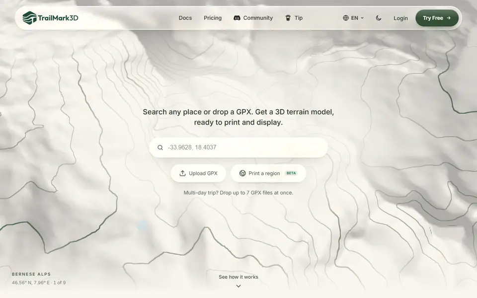
Maps & Terrain
TrailMark3D
Terrain models of a place or GPX route with water, landcover and jigsaw split, STL or 3MF; free account to download
Maps & Terrain
Printed Canyon
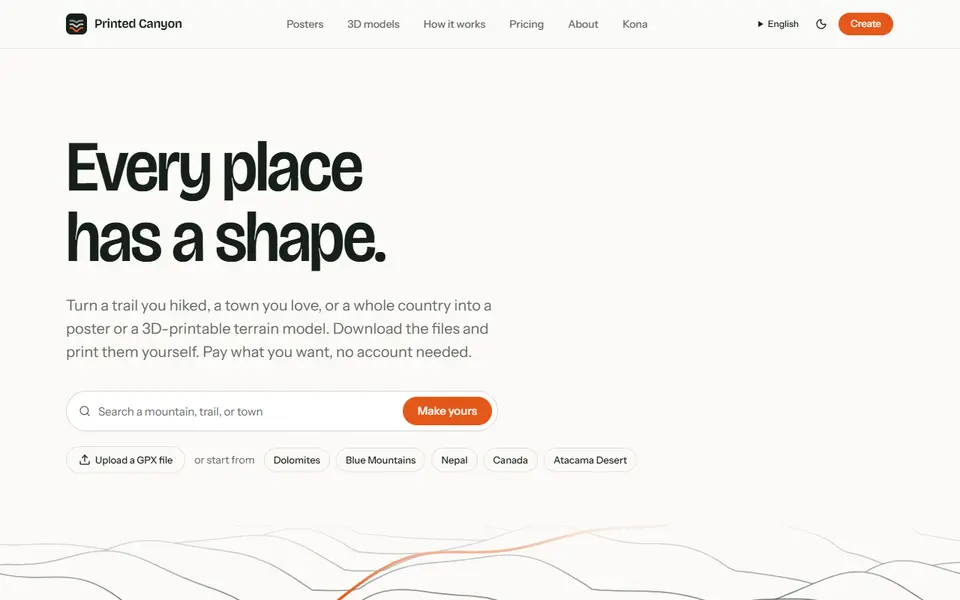
Pay-what-you-want terrain models and posters from a place or GPX route, as STL, 3MF or GLB, no account
Maps & Terrain
GeoFilament
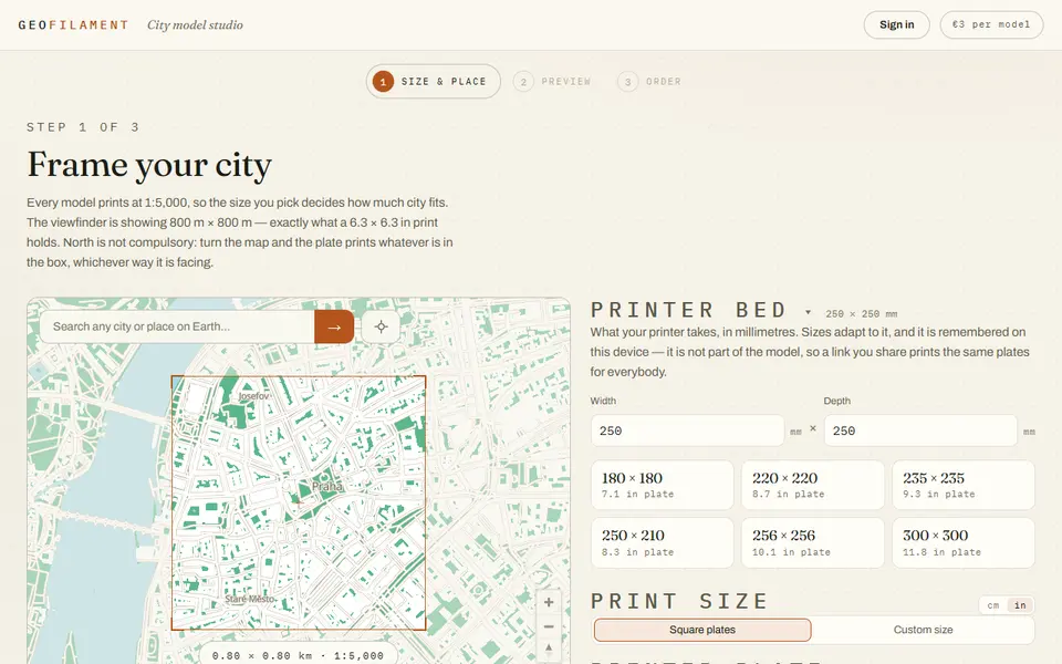
Any place on Earth as a multicolor city model at 1:5,000, from 3 EUR per model with a free in-browser preview
Maps & Terrain
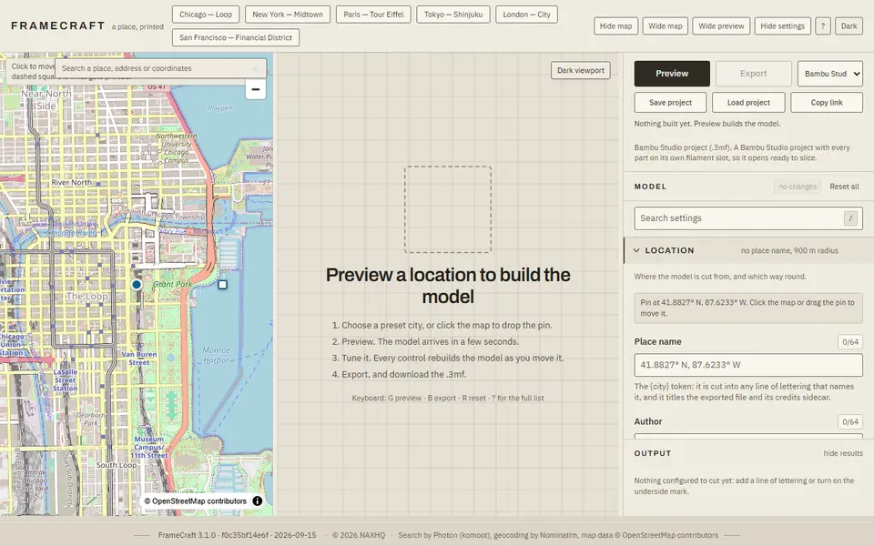
FrameCraft
Free browser app that turns any OpenStreetMap location into a framed miniature city, with a multicolor Bambu 3MF
 Made by us
 Maps & Terrain
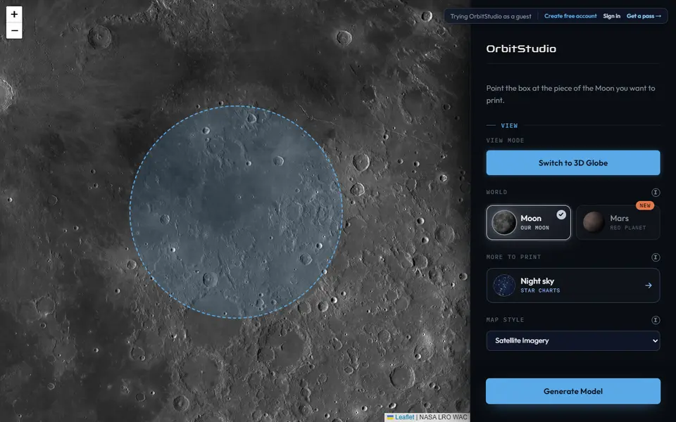
OrbitStudio
Print any place on the Moon or Mars as a snap-together puzzle or ornament
Maps & Terrain
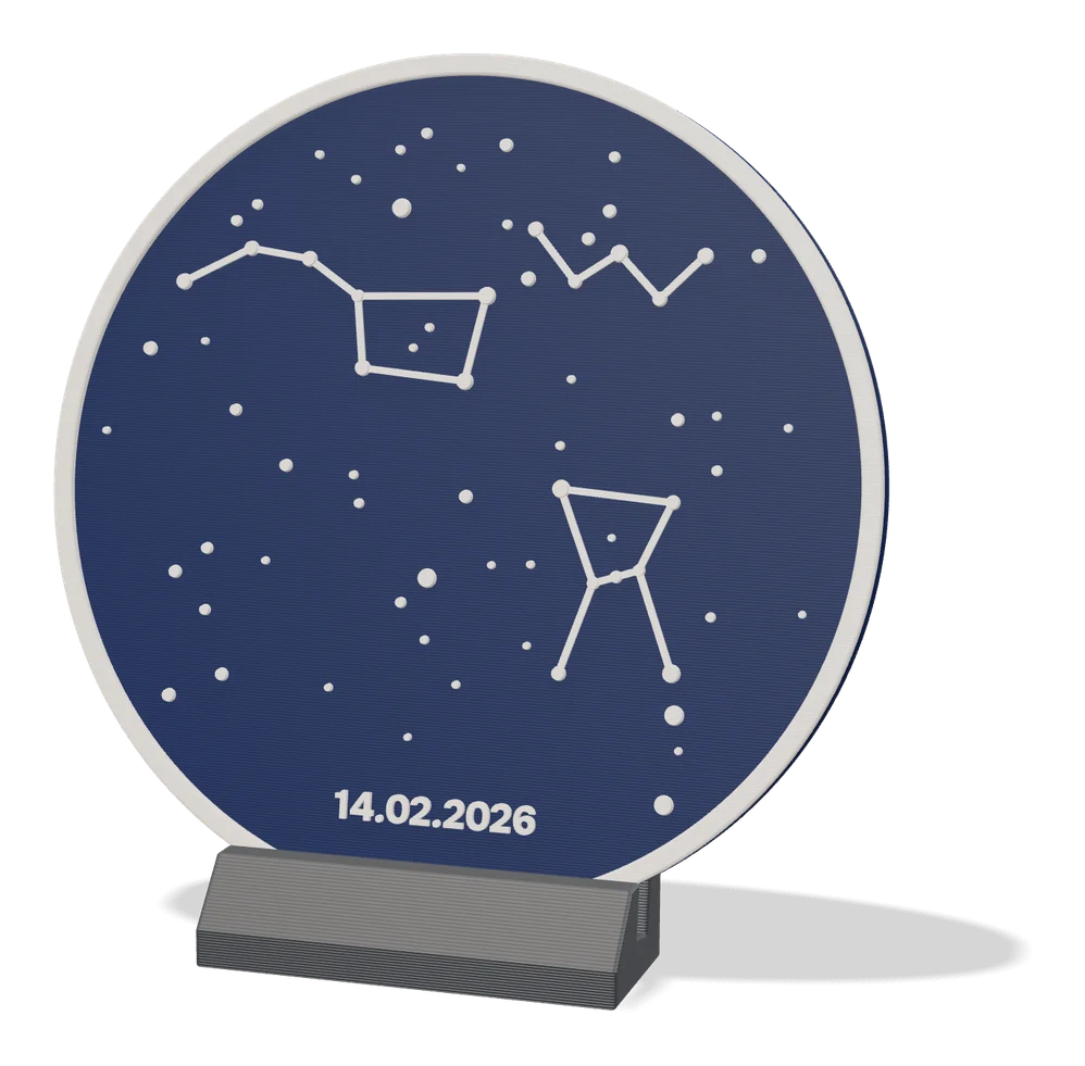
Star Map Generator (MakerLab)
Printable two-color star map of the real sky for any place and date