GeoFilament
Any place on Earth as a multicolor city model at 1:5,000, from 3 EUR per model with a free in-browser preview
GeoFilament is a paid browser tool for multicolor models of a hometown or travel spot. Free preview; one-time 3 EUR per model up to 25 cm, 5 EUR up to 50 cm, 8 EUR above, via Stripe. Exports 3MF, STL and OBJ; an account is needed to download. Last checked .
Opens geofilament.mochi.is
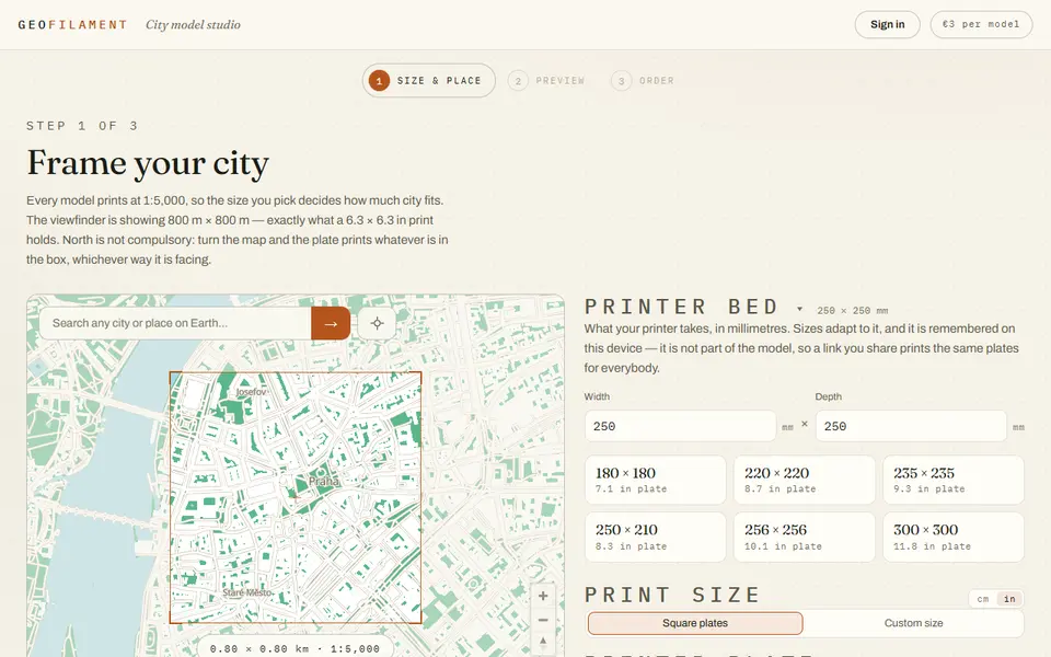
What is GeoFilament?
GeoFilament turns any place on Earth into a printable city model with terrain, water, roads, woodland and buildings, built from OpenStreetMap data and open elevation datasets. Every model is at a fixed 1:5,000 scale, so a 16 x 16 cm plate covers 800 by 800 meters and the plate size you pick decides how much of the city fits. Buildings are cut into the slope so they sit on hillsides, and a terrain slider lets you exaggerate, flatten or switch off the relief.
In the studio you search for a place, frame it in a viewfinder, enter your printer bed size and choose a plate from 10 to 25 cm. Larger areas print as a 2x2, 3x3 or 4x4 grid of flat-edged tiles that butt together, up to 64 cm assembled. You can rotate the map to any orientation, then build a live 3D preview in the browser before you pay.
Each purchase gives a multicolor 3MF with the five layers already assigned to filament slots for an AMS or CFS, plus a single-mesh STL and an OBJ, with a print and assembly guide. Pricing is per finished model: 3 EUR up to 25 cm, 5 EUR up to 50 cm and 8 EUR above, paid once through Stripe; buying requires signing in. The license covers personal prints and gifts only, and any public photo of a print must credit OpenStreetMap contributors.
What you can make
- City models with buildings and streets
- Terrain and landscape models
- Multi-plate tiled maps
- Hometown and travel gifts
How to use GeoFilament
- Search for a place and frame it in the viewfinder
- Enter your bed size and pick a plate size or grid
- Build the 3D preview and adjust the terrain
- Sign in, pay and download the 3MF, STL and OBJ
What you'll need to print it
Filament and parts that suit what you make with GeoFilament.
Multicolor PLA
Multicolor filament systems
Some of these are affiliate links: we may earn a small commission, at no extra cost to you. More about that
GeoFilament pros
- Multicolor 3MF with terrain, water, roads, woodland and buildings on separate filament slots
- Live 3D preview of any place before you pay, and a low one-time price
- Large areas split into tiles that fit your printer bed, up to 64 cm assembled
GeoFilament cons
- Downloads are paid and buying requires an account
- Personal use only; selling prints needs a separate commercial license
- Fixed 1:5,000 scale, so a single plate covers at most about 1.25 km
Rate GeoFilament
One rating per account. Signing in takes one email link, no password.
Reviews
Made with GeoFilament
Read next
GeoFilament alternatives
Terrain and map generators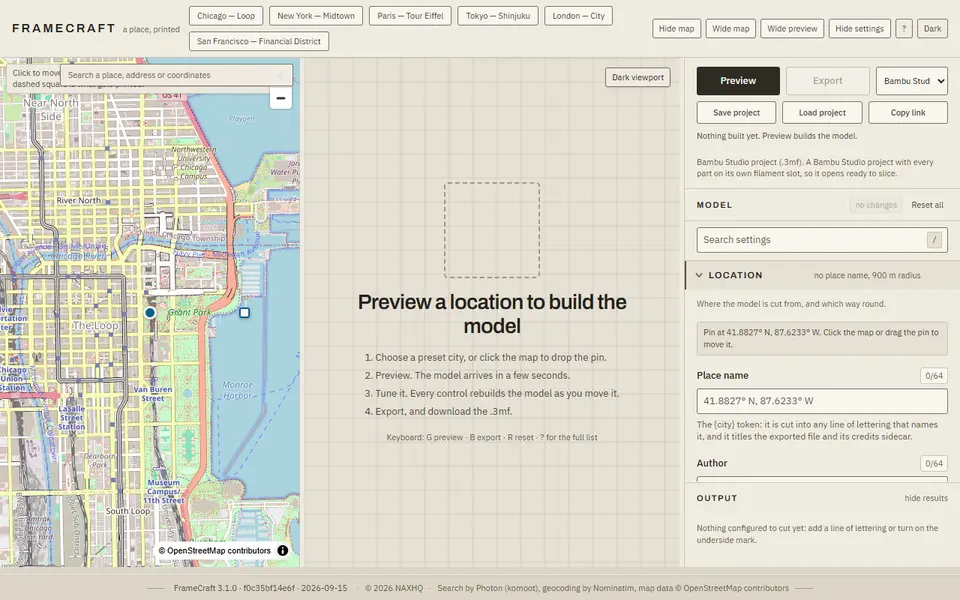
Maps & Terrain
FrameCraft
Free browser app that turns any OpenStreetMap location into a framed miniature city, with a multicolor Bambu 3MF
Maps & Terrain
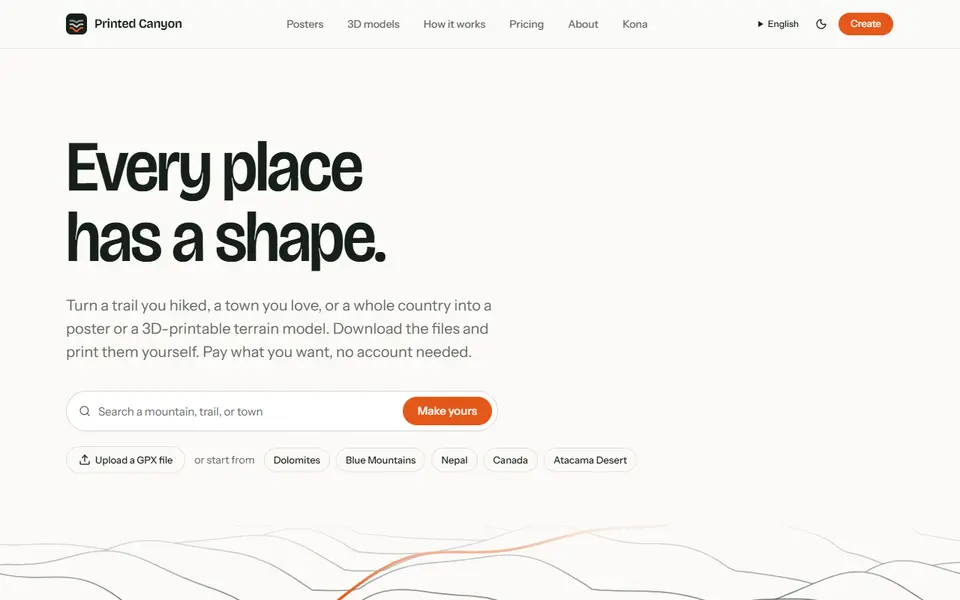
Printed Canyon
Pay-what-you-want terrain models and posters from a place or GPX route, as STL, 3MF or GLB, no account
Maps & Terrain
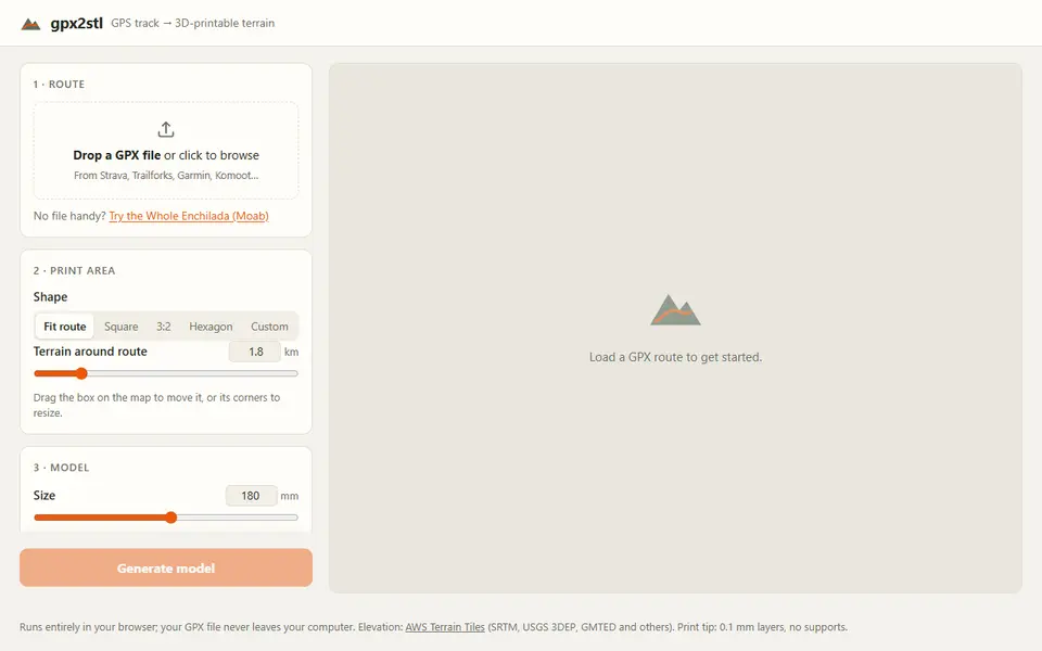
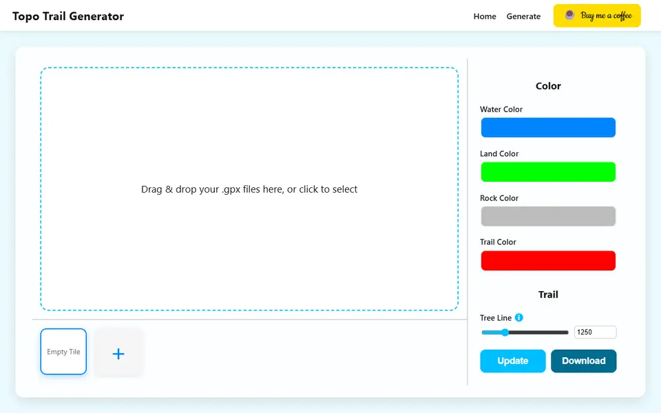
gpx2stl
Free browser tool that turns a GPX track into a terrain relief with the route as a ridge, groove or color inlay
Maps & Terrain
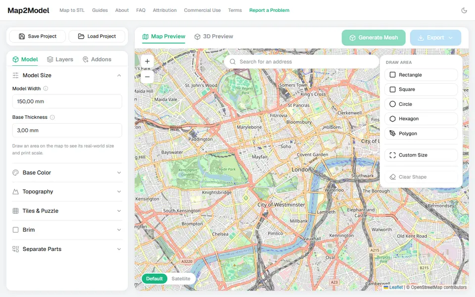
Map2Model
Draw an area on a map and export a city or terrain model as STL or multicolor 3MF
Maps & Terrain
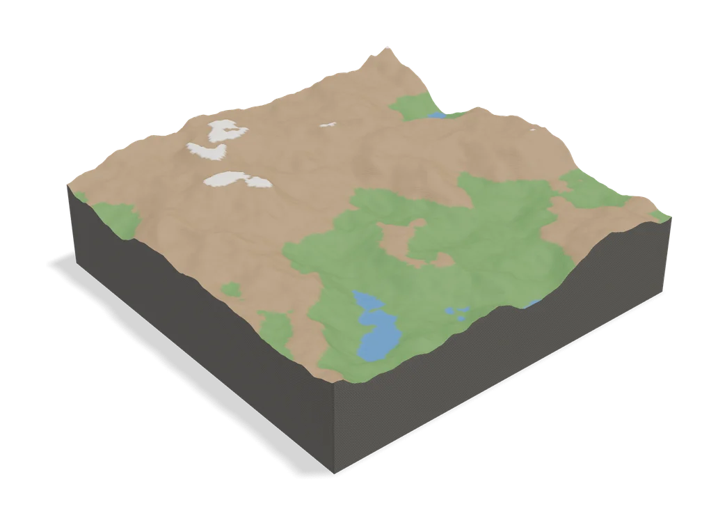
TopoTile Studio
Free local app that turns an OpenStreetMap area into a printable city and terrain model