Touch Mapper
Type an address and get a tactile street map for blind and low-vision users
Opens touch-mapper.org
About Touch Mapper
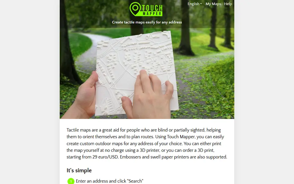
Touch Mapper makes tactile maps for people who are blind or partially sighted. You type an address, pick a map size and scale, and it builds a raised map of the surrounding streets from OpenStreetMap data, ready to download as an STL for your own printer.
Streets, footpaths, railways and water are shaped differently so they can be told apart by touch, buildings can be switched on or off, and a marker shows the searched address. Scales range from close-up detail to a wider overview, and there is a larger scale suited to people who lost their sight later in life.
The service is free and open source. If you do not own a printer you can order a printed map, with prices starting around 29 euro or dollars. It is a thoughtful project for orientation and mobility teachers, families and anyone printing maps for accessibility.
What you can make
- Tactile street maps
- Neighbourhood orientation maps
- Route planning maps
- Maps with or without buildings
How to use it
- Enter an address and search
- Choose map size, scale and whether to show buildings
- Create the tactile map
- Download the STL and print it
Good
- Built specifically for touch reading
- Only an address is needed to start
- Free and open source
Not so good
- Detail depends on OpenStreetMap coverage
- No bus stops or crossings marked
- Large maps may need splitting to fit a print bed
What you'll need to print it
Materials and parts that give the best results with Touch Mapper.
White PLA for lithophanes
A lithophane is only as good as the light passing through it. A neutral, evenly pigmented white gives smooth grey gradients, while an off-white or patchy batch shows up as blotches and colour casts once it is backlit.
- Bambu Lab PLA Basic Jade WhiteThe white Bambu uses in its own lithophane workflow; RFID presets make first prints predictable on Bambu printers.
- Polymaker PolyLite PLA Cold WhiteA cool-toned white (listed next to the warmer standard White) that keeps backlit photos crisp instead of yellowish.
- eSUN PLA+ WhiteAffordable and easy to find, good for large or batch lithophane panels.
Matte PLA for signs and Gridfinity
Matte filament hides layer lines and cuts glare, so raised lettering on signs and nameplates stays readable from any angle and a drawer full of bins looks uniform.
- Bambu Lab PLA MatteWide colour range with AMS-ready RFID, ideal for multi-colour signs.
- Polymaker Panchroma Matte PLA (formerly PolyTerra)The former PolyTerra line under a new name: soft matte look and good value for printing Gridfinity in bulk.
- SUNLU Matte PLALow-cost matte option for large batches of bins and baseplates.
Some of these are affiliate links: we may earn a small commission, at no extra cost to you. More about that
Read next
Alternatives to Touch Mapper
All maps & terrain generators
Maps & Terrain
TouchTerrain
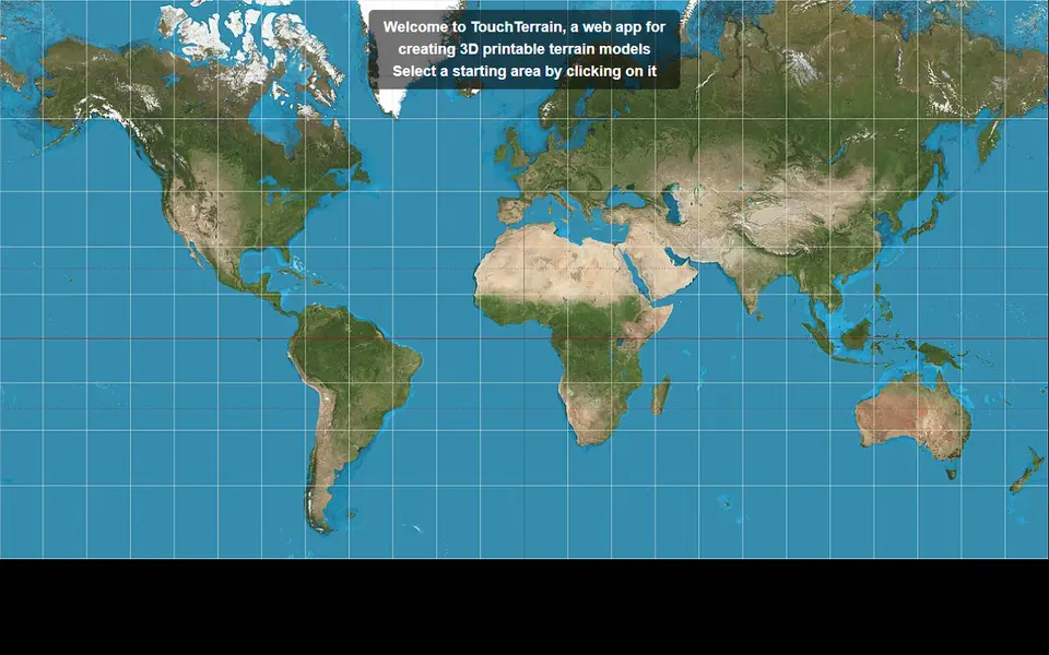
University-built web app that turns elevation data into printable terrain tiles