GSI Maps 3D (Chiriin Chizu 3D)
Japan's official 3D map viewer, which saves any stretch of Japanese terrain as an STL
GSI Maps 3D (Chiriin Chizu 3D) is a free browser tool for printing Mt Fuji or any other spot in Japan from official survey data. Free government service with no account and no paid tier. Exports STL and OBJ. Last checked .
Opens maps.gsi.go.jp
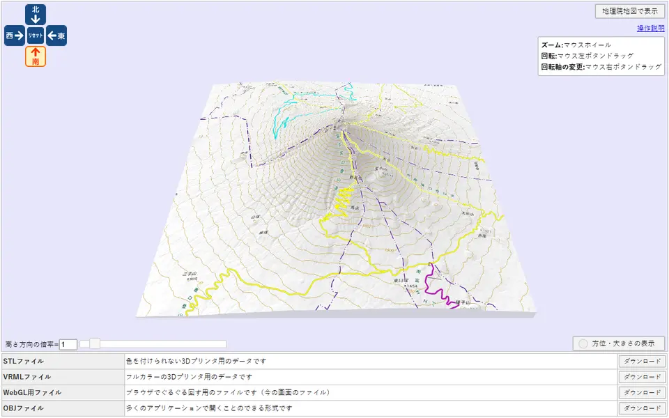
What is GSI Maps 3D (Chiriin Chizu 3D)?
GSI Maps 3D is a free browser tool from the Geospatial Information Authority of Japan that turns any part of its national web map into a 3D terrain model you can download as an STL. It has been online since March 2014. You move the normal map to a mountain, island or valley, open Tools, then 3D, and take a large or small square around the center of the screen, or mark out a custom area, even by typing its corner coordinates. Inside Japan the relief comes from GSI's own survey-based elevation grids, with the standard map or an aerial photo laid over it.
A slider and number box set the height exaggeration from 0 to 10 times. The download panel offers a plain STL for single-color printing, a VRML file with a texture image for full-color printers, and an OBJ with its material file. The model's longest side is always 150 mm on a 5 mm base, and GSI's FAQ says you may sell prints made from the STL as long as you credit GSI.
It needs no account and the source code is on GitHub. The screens are only in Japanese, and outside Japan it falls back to a much coarser global elevation layer. It suits anyone who wants to print Mt Fuji, a volcano or any corner of Japan from official survey data.
What you can make
- Terrain relief models of places in Japan
- Mountain and volcano models such as Mt Fuji
- Island and coastline relief blocks
- Textured VRML and OBJ terrain files for full-color printers
How to use GSI Maps 3D
- Open GSI Maps and move to the place you want
- Choose Tools (ツール), then 3D, and pick large (大), small (小) or custom (カスタム)
- Set the height exaggeration (高さ方向の倍率) with the slider
- Click Download (ダウンロード) on the STL row, save dem.stl and rotate it upright in your slicer
What you'll need to print it
Filament and parts that suit what you make with GSI Maps 3D.
Matte PLA
White PLA
Some of these are affiliate links: we may earn a small commission, at no extra cost to you. More about that
GSI Maps 3D pros
- Uses GSI's official elevation grids for Japan, which the viewer takes from 1 m, 5 m or 10 m data depending on the area
- Height exaggeration from the slider carries into the STL, so flat areas can still print with visible relief
- Free with no account, open source on GitHub, and GSI allows selling prints made from the STL with credit
GSI Maps 3D cons
- The viewer and its menus are only in Japanese
- Detailed terrain is limited to Japan; other countries use a coarse global elevation layer
- Size is fixed at 150 mm on the longest side with a 5 mm base, and GSI notes the STL opens rotated 90 degrees, so expect to rescale and rotate in the slicer
Rate GSI Maps 3D
One rating per account. Signing in takes one email link, no password.
Reviews
Made with GSI Maps 3D
Read next
GSI Maps 3D alternatives
Terrain and map generators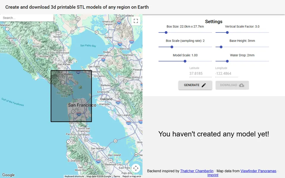
Maps & Terrain
map2stl.com
Free terrain STL of any box you draw on a Google map, with height scale, base and water settings, no account
Maps & Terrain
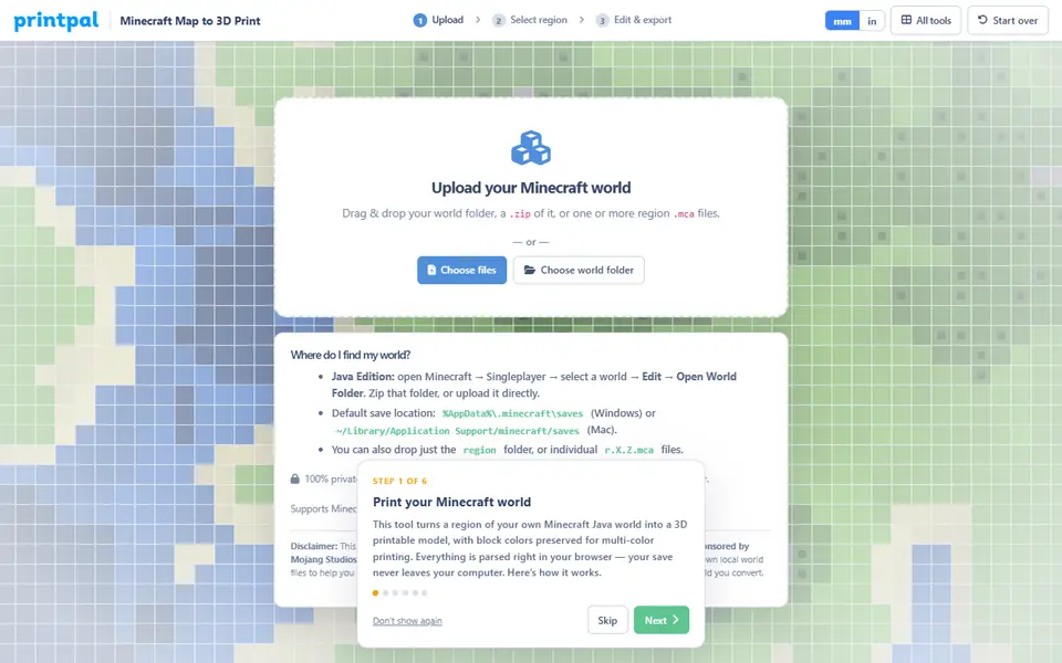
PrintPal Minecraft Map to 3D Print
Turns part of your Minecraft Java world into a full-color 3MF or OBJ, or a plain STL
Maps & Terrain
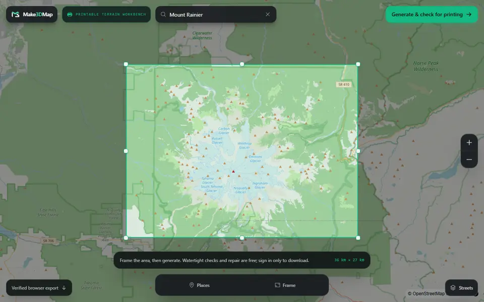
Make3DMap
Frame a real place and download a mesh-checked, watertight terrain solid as 3MF or STL
Maps & Terrain
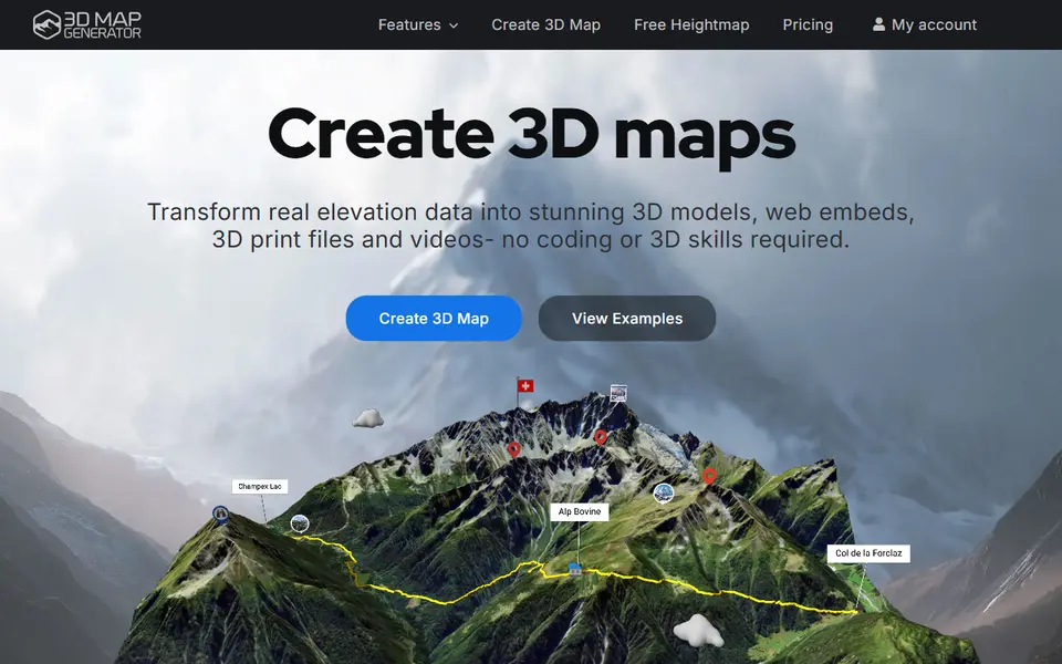
3D Map Generator
Turns a real place or GPX route into a 3D terrain model, with a paid STL export per map