3D Map Generator
Turns a real place or GPX route into a 3D terrain model, with a paid STL export per map
3D Map Generator is a paid browser tool for a one-off print of a favorite trail, summit or island. Paid per map. Designing in the editor and JPG snapshots are free, but STL export needs a one-time purchase per map: $9.99 Basic (personal use) or $24.99 Pro (commercial and client work), VAT included. A bought map can be edited and exported again later. No subscription. Exports STL, OBJ and GLB; an account is needed to download. Last checked .
Opens 3d-map-generator.com
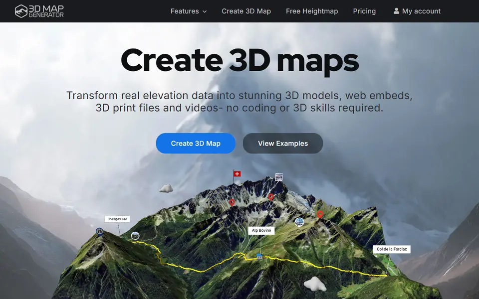
What is 3D Map Generator?
3D Map Generator is a paid browser app that turns any area on Earth, or a GPX or KML route, into a 3D terrain model you can export as STL for printing. It comes from the makers of the older 3D Map Generator plugins for Photoshop, rebuilt for the web after Adobe removed 3D from Photoshop.
You search for a place, paste coordinates or drop in a track, then frame the area with a rectangle, circle, custom polygon or a country outline. In the 3D editor you can exaggerate the height, smooth the surface, adjust the light, style the route and add pins or labels. The street, satellite and topographic map styles only color the on-screen model; an STL file carries shape, not color.
The STL export sets a final size between 5 and 40 cm and adds your own text to the base. Terrain, route, base and text come out as separate STL files or one merged model, so a raised hiking track can go on its own filament. Much of the rest, such as web embeds, tours and video, is aimed at websites and tourism. Designing and previewing are free, but each map must be bought before any STL download. It suits a single keepsake print of a trail, summit or island.
What you can make
- Topographic relief models of real places
- Hiking and cycling routes raised on the terrain
- Terrain plaques with your own text on the base
- Separate terrain, route and base parts for multicolor printing
How to use 3D Map Generator
- Open the Map Browser and search for a place, paste coordinates or drop in a GPX or KML file
- Frame the area and pick a street, satellite or topographic base map
- Tune the height, route style and base in the 3D editor
- Buy the map, set the print size and base text, and download the STL files
What you'll need to print it
Filament and parts that suit what you make with 3D Map Generator.
Matte PLA
Multicolor PLA
Multicolor filament systems
Some of these are affiliate links: we may earn a small commission, at no extra cost to you. More about that
3D Map Generator pros
- Works anywhere on Earth, and you can frame the area with a rectangle, circle, polygon, country outline or GPX track
- The STL export sets an exact print size from 5 to 40 cm and adds your own text to the base
- Terrain, route, base and text can be downloaded as separate STL files, which makes it easy to print a trail in a second color
3D Map Generator cons
- Every map costs money before you get an STL, from $9.99, while free users only get JPG snapshots
- Many editor features, such as tours, popups, videos and web embeds, are aimed at websites rather than printing
- Guest work is lost when you close the browser window, and unpurchased drafts on a free account are deleted after 48 hours
Rate 3D Map Generator
One rating per account. Signing in takes one email link, no password.
Reviews
Made with 3D Map Generator
Read next
3D Map Generator alternatives
Terrain and map generators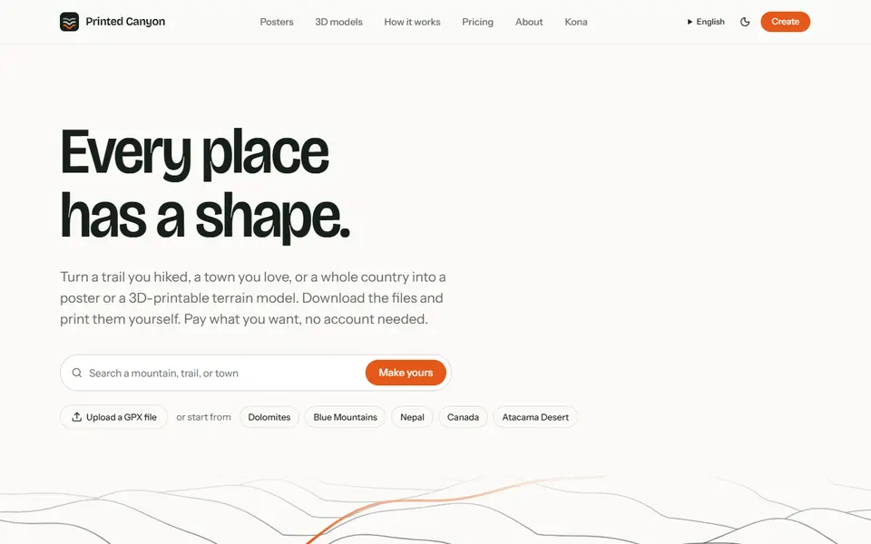
Maps & Terrain
Printed Canyon
Pay-what-you-want terrain models and posters from a place or GPX route, as STL, 3MF or GLB, no account
Maps & Terrain
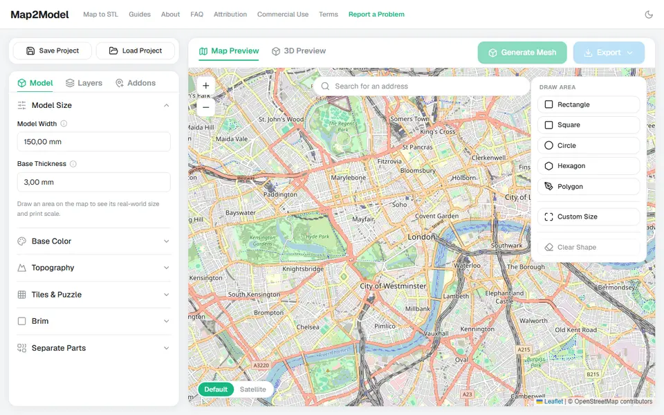
Map2Model
Draw an area on a map and export a city or terrain model as STL or multicolor 3MF
Maps & Terrain
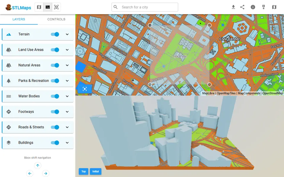
STLmaps
Draw a box on a city map and get its terrain, roads and buildings as STL or 3MF
Maps & Terrain
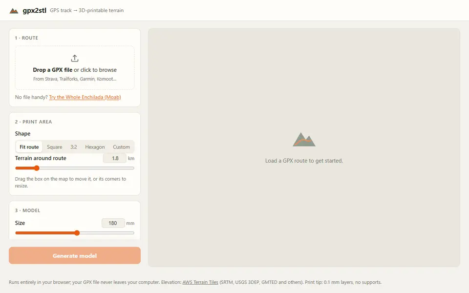
gpx2stl
Free browser tool that turns a GPX track into a terrain relief with the route as a ridge, groove or color inlay
Maps & Terrain
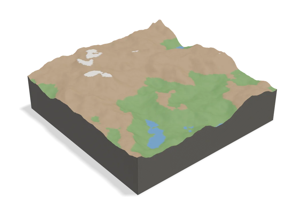
TopoTile Studio
Free local app that turns an OpenStreetMap area into a printable city and terrain model