Make3DMap
Frame a real place and download a mesh-checked, watertight terrain solid as 3MF or STL
Make3DMap is a free browser tool for clean mountain and landscape prints without mesh repair. Generating terrain and running the print check are free without an account; downloading your own 3MF or STL needs a free sign-in (Google or email). No paid plan or pricing page was seen. Exports 3MF, STL and GLB. Last checked .
Opens make3dmap.com
What is Make3DMap?
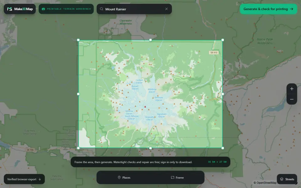
Make3DMap is a free browser tool that turns a framed patch of real terrain into a watertight solid you can slice, with a mesh check before you download. You search for a mountain, a city or a pair of coordinates, drag a frame around the area and generate the relief from elevation data. In the editor you pick Fast, Sharp or Ultra quality, set the vertical exaggeration between 0.5x and 4x and change the base depth.
The print check is what sets it apart from older terrain sites. It adds side walls and a flat underside, welds loose seams, then reports open edges, non-manifold edges, the number of solid parts and the minimum base thickness. You type the finished width in millimeters, it shows the full size, and you get a 3MF file that stores the units or a plain STL. Routes, pins, labels, water and placed objects stay out of the print file, so what you print is bare terrain in one color.
Generating and checking need no account, but downloading your own file asks you to sign in with Google or email. The site launched in mid 2026 and is run by the company behind Tripo AI, and it had little outside track record as of September 2026. It suits makers who want a clean mountain or landscape print without repairing the mesh afterwards.
What you can make
- Topographic mountain models
- Terrain tiles of any searched place or coordinate
- Landscape dioramas on a flat base
- Relief maps sized to an exact width in mm
How to use Make3DMap
- Search a mountain, city or coordinate and frame the area
- Click Generate & check for printing to open the terrain in the editor
- Adjust quality, vertical exaggeration and base thickness under Shape & quality
- In the export panel, choose Prepare a printable terrain and enter the width in mm
- Sign in and download the 3MF or STL
What you'll need to print it
Filament and parts that suit what you make with Make3DMap.
Matte PLA
White PLA
Some of these are affiliate links: we may earn a small commission, at no extra cost to you. More about that
Make3DMap pros
- Reports open edges, non-manifold edges, solid count and base thickness, and welds seams automatically before download
- You set the finished width in mm, and the 3MF export stores millimeter units
- Search by place name or coordinates, with vertical exaggeration from 0.5x to 4x
Make3DMap cons
- Downloading your own model requires signing in
- The print file holds bare terrain only: no routes, labels, water or buildings, even though the editor shows them
- Exports one single-color solid, with no separate parts for multi-material printing
Rate Make3DMap
One rating per account. Signing in takes one email link, no password.
Reviews
Made with Make3DMap
Read next
Make3DMap alternatives
Terrain and map generators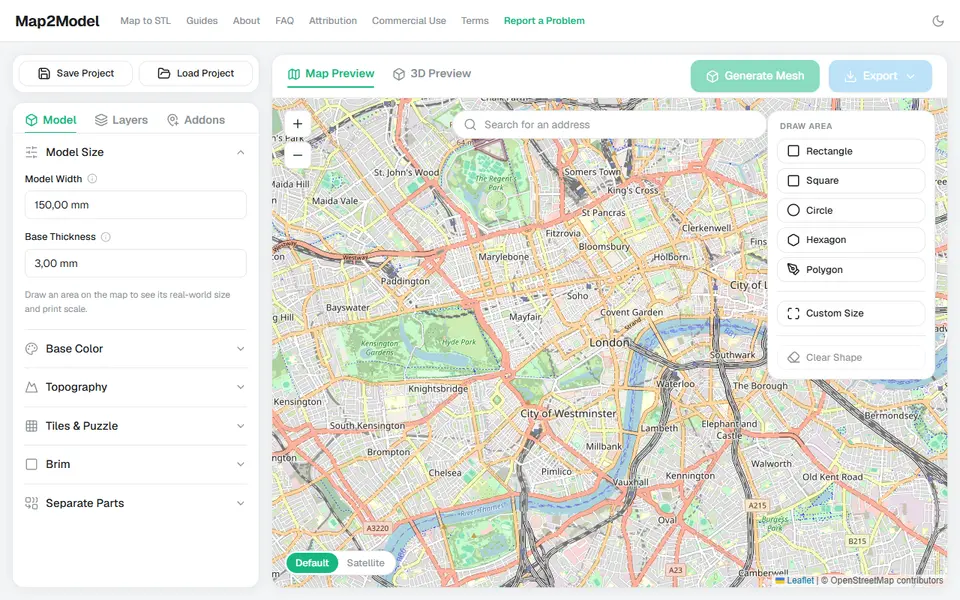
Maps & Terrain
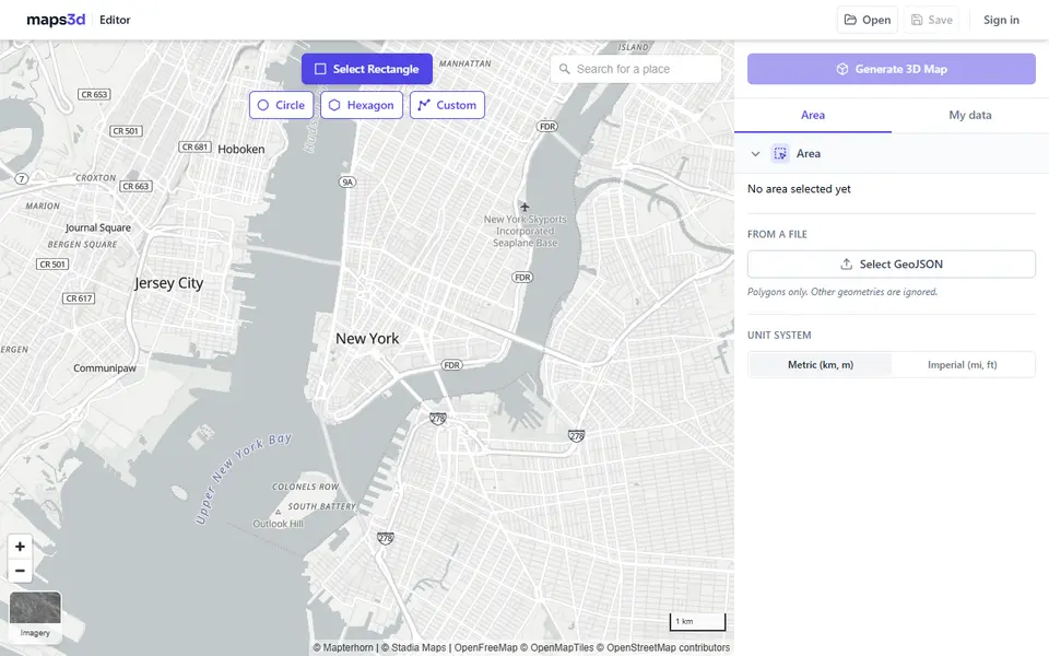
Map2Model
Draw an area on a map and export a city or terrain model as STL or multicolor 3MF
Maps & Terrain
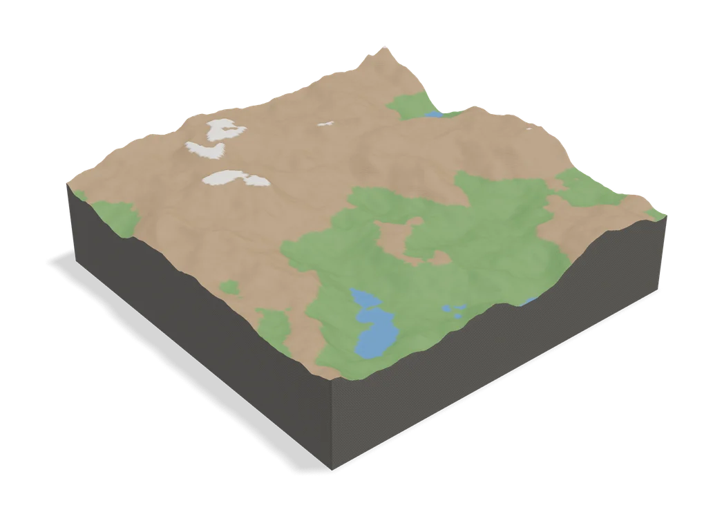
TopoTile Studio
Free local app that turns an OpenStreetMap area into a printable city and terrain model
Maps & Terrain
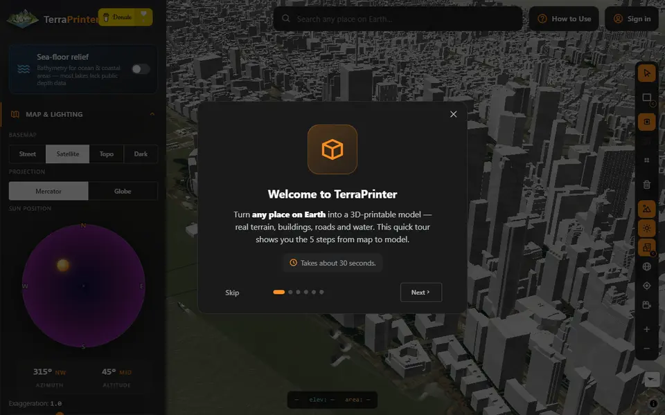
TerraPrinter
Browser terrain maker with OSM features, hex tiles, puzzle and voxel styles
Maps & Terrain
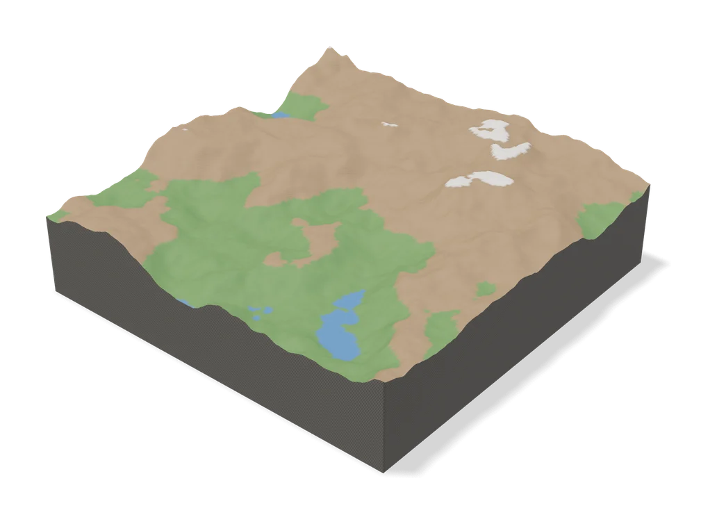
Terrain 6
Browser generator that turns any trail, summit or place on Earth into a 3D topographic jigsaw puzzle
Maps & Terrain
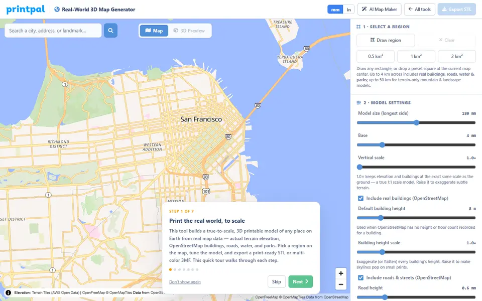
PrintPal Real-World 3D Map Generator
True-scale terrain and building maps from OSM data, exported as multicolor 3MF