Maps3D
Turns any place on a map into a multicolor 3D printable city or terrain model
Maps3D is a paid browser tool for detailed multicolor city and hiking maps. Selecting an area and previewing it in the editor is free. Exporting costs $5 per map as a one-off purchase with no account, or $20/month for unlimited exports (the subscription needs an account). Prices are localized at checkout: from the Netherlands the editor asked 5.99 EUR per map or 22.99 EUR/month, VAT included. The price does not depend on the size of the area, and there is a 15-day refund policy. Exports STL, 3MF, OBJ and GLB. Last checked .
Opens maps3d.io
What is Maps3D?
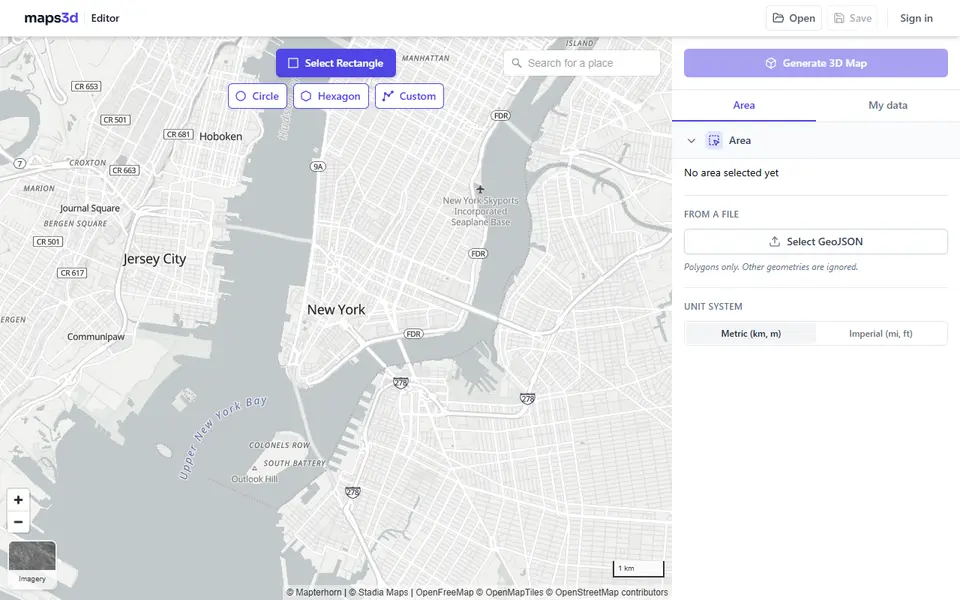
Maps3D is a browser editor that turns any area you select on a map into a 3D model, from a few city blocks to a mountain range. You mark the area as a rectangle, circle, hexagon or your own outline, pick a starting preset such as 3D Printing, and it pulls in terrain, buildings, roads and water from open data, with land cover and trees as optional layers. A live 3D preview updates as you change colors, height exaggeration, base height and visible layers.
For printing, you scale the model to fit your printer, straighten a rotated area and export an STL or 3MF, which the site says is watertight. The 3MF keeps each layer as its own colored body, so you can map filaments to an AMS or MMU. Extras include a frame with a title in a font of your choice, pin and flag markers, water or roads that can be recessed or cut through, and an option to split big maps into tiles that fit your bed. You can also import a GPX or KML track and print the route as a raised line over the terrain.
Building and previewing cost nothing, but every export is paid. The same purchase also covers CAD formats such as DXF, SketchUp and Rhino files, which is why the site also targets architects. It suits makers who want a detailed multicolor city or hiking map and are fine paying per map.
What you can make
- City models with buildings, roads and water
- Mountain and terrain maps
- Hiking, running or cycling routes from GPX or KML tracks
- Framed maps with a title and pin or flag markers
- Large maps split into bed-sized tiles
How to use Maps3D
- Open the editor and mark an area as a rectangle, circle, hexagon or custom shape
- Pick the 3D Printing preset, then choose layers such as buildings, roads, water and trees and set their colors
- Set the print size, base height and height exaggeration, and add a frame, title, markers or GPS track if you like
- Buy the map or use a subscription, then download the 3MF or STL and slice it
What you'll need to print it
Filament and parts that suit what you make with Maps3D.
Matte PLA
Multicolor PLA
Multicolor filament systems
Some of these are affiliate links: we may earn a small commission, at no extra cost to you. More about that
Maps3D pros
- Multicolor 3MF export with each map layer as a separate body, ready to assign to AMS or MMU slots
- Many print-specific controls: frame with title, markers with sockets, recessed or cut-through water and tiling for maps larger than your bed
- One flat price per map whatever the area, no account needed for a single purchase, plus a link to export the same area again with other settings
Maps3D cons
- No free download: every export is paid, $5 per map or $20 per month
- The full editor and downloads need a larger screen; on a phone you can only preview the quick styles
- The editor warns that some high-detail survey buildings are not fully watertight and may need a repair in the slicer
Rate Maps3D
One rating per account. Signing in takes one email link, no password.
Reviews
Made with Maps3D
Read next
Maps3D alternatives
Terrain and map generators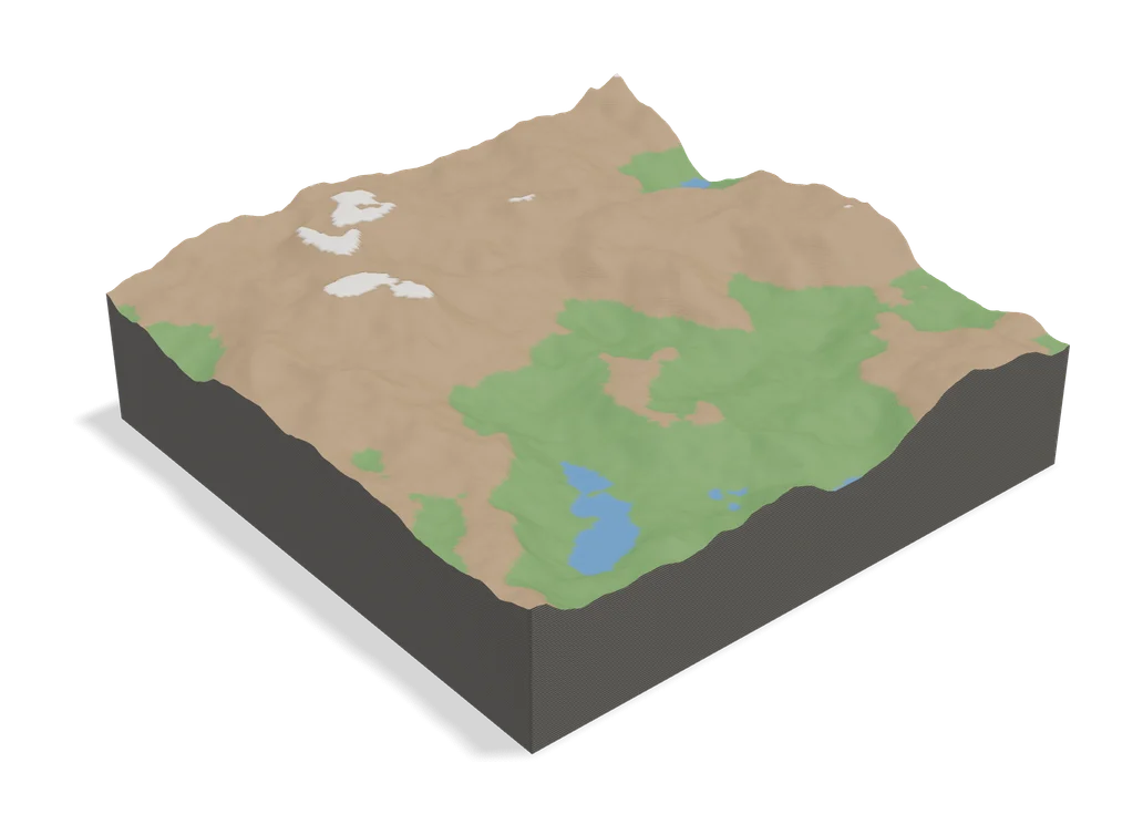
Maps & Terrain
TopoTile Studio
Free local app that turns an OpenStreetMap area into a printable city and terrain model
Maps & Terrain
Map2Model
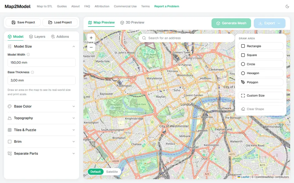
Draw an area on a map and export a city or terrain model as STL or multicolor 3MF
Maps & Terrain
TerraPrinter
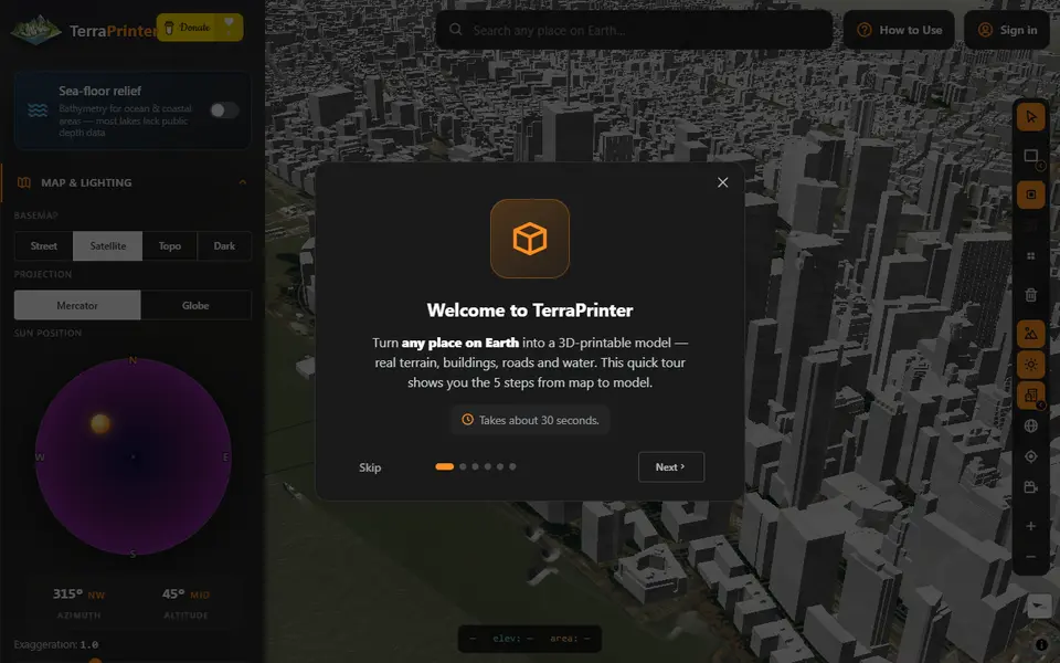
Browser terrain maker with OSM features, hex tiles, puzzle and voxel styles
Maps & Terrain
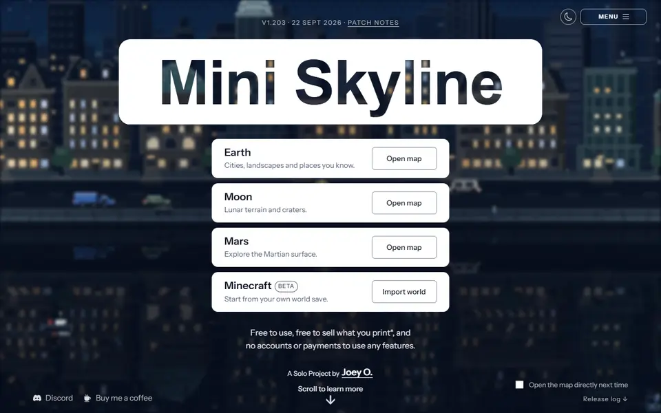
Mini Skyline
Turns a real city or landscape into a multicolor 3MF relief model in your browser
Maps & Terrain
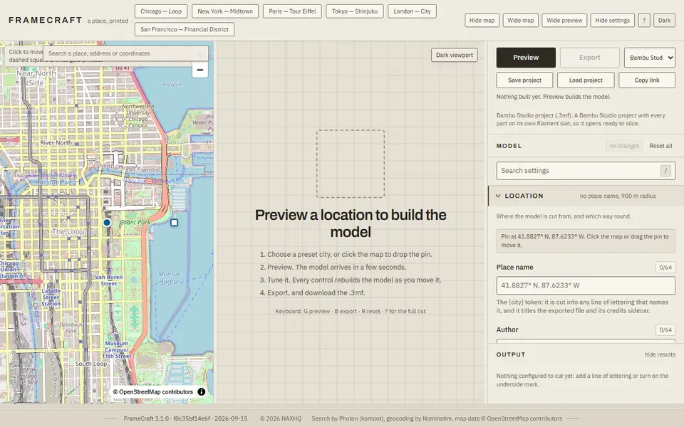
FrameCraft
Free browser app that turns any OpenStreetMap location into a framed miniature city, with a multicolor Bambu 3MF
Maps & Terrain
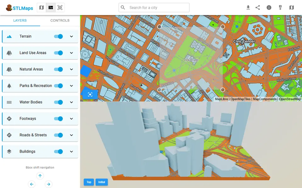
STLmaps
Draw a box on a city map and get its terrain, roads and buildings as STL or 3MF