Relief Globes (hedin.it)
Free Earth globes with raised land and sunken seafloor, as two STLs for two-color printing, no account
Relief Globes (hedin.it) is a free browser tool for a two-color Earth globe with real mountains and ocean depths. Free, no account. Exports STL. Last checked .
Opens hedin.it
What is Relief Globes (hedin.it)?
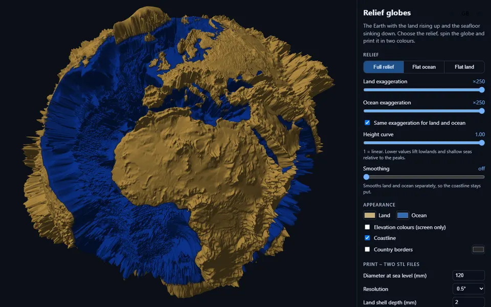
Relief Globes makes a printable Earth globe where the land rises and the seafloor sinks, built from NOAA's ETOPO 2022 elevation data. You choose full relief, a flat ocean or flat land, set the exaggeration for land and ocean (x250 by default), a height curve that lifts lowlands and shallow seas, and optional smoothing, and spin the globe in the browser. The interface is in English, Swedish or Japanese.
For printing you set the diameter at sea level (30 to 400 mm), the resolution (1, 0.5 or 0.25 degrees), the depth of the land shell and the alignment holes, and you can split the globe into northern and southern hemispheres that print without supports. The result is two STL files that fit together, one for the ocean and one for the land, so you can print them in two colors; country borders can come as a third STL. The tool reports whether each file is watertight, and the files are large: at the default 120 mm the ocean STL was about 19 MB.
It is free and needs no account, and the code is on GitHub under the MIT license, which covers the code but says nothing about prints. It is made by Björn Hedin of KTH as part of hedin.it, a portal of sustainability data visualizations where about 19 projects have a 3D print export, such as a monthly rain map, climate slices and Arctic sea ice thickness. It suits teachers, map lovers and anyone who wants a two-color relief globe.
What you can make
- Two-color relief globes of the Earth
- Globe hemispheres with alignment holes
- Country border overlays as a third part
- Rain, climate and sea ice data models on other hedin.it pages
How to use Relief Globes
- Open the page and choose full relief, flat ocean or flat land
- Set the exaggeration and the diameter
- Pick the resolution and the hemisphere and border options
- Create the STL files and print land and ocean in two colors
What you'll need to print it
Filament and parts that suit what you make with Relief Globes.
Matte PLA
- Bambu Lab PLA Matte (affiliate link) Amazon
- Polymaker Panchroma Matte PLA (formerly PolyTerra) (affiliate link) Polymaker EU: 3DJake (affiliate link)
Code gives 15% off your first order at Polymaker.
Multicolor filament systems
Some of these are affiliate links: we may earn a small commission, at no extra cost to you. More about that
Relief Globes pros
- Land and ocean as separate STLs that fit together for two colors
- Hemispheres with alignment holes that print without supports
- Free, no account, MIT-licensed code
Relief Globes cons
- STL only, and the files get large at higher resolutions
- No statement on selling prints
Rate Relief Globes
One rating per account. Signing in takes one email link, no password.
Reviews
Made with Relief Globes
Read next
Relief Globes alternatives
Terrain and map generators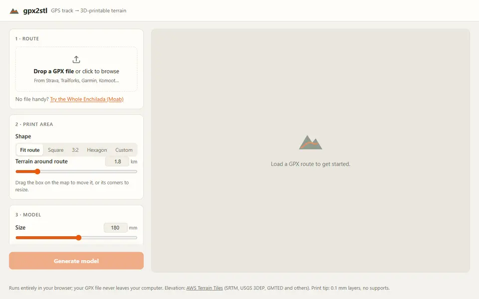
Maps & Terrain
gpx2stl
Free browser tool that turns a GPX track into a terrain relief with the route as a ridge, groove or color inlay
Maps & Terrain
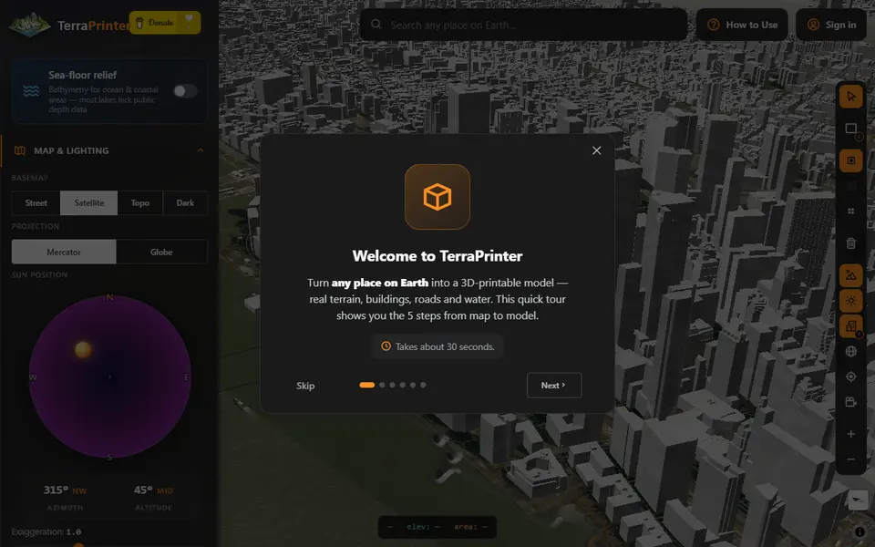
TerraPrinter
Terrain of any place on Earth and 22 other worlds, with buildings, puzzles, globes and 18 gift makers
Maps & Terrain
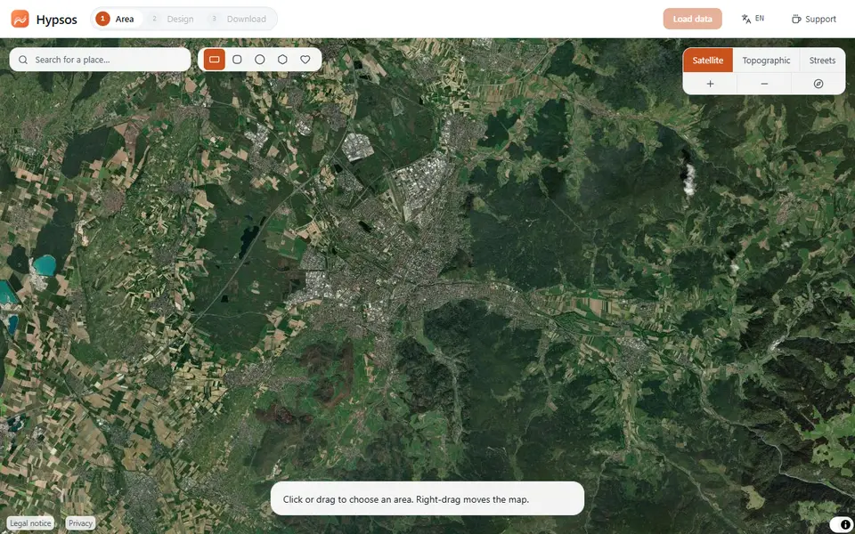
Hypsos
Free 3D map tiles of any place with terrain, streets, water, woods and buildings, as a color 3MF or STL
Maps & Terrain
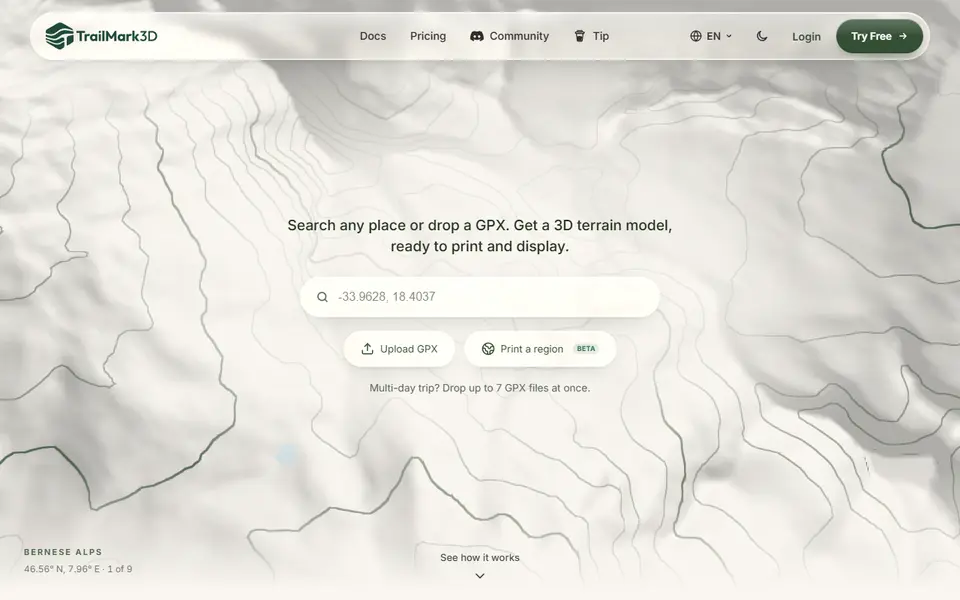
TrailMark3D
Terrain models of a place or GPX route with water, landcover and jigsaw split, STL or 3MF; free account to download
 Made by us
Maps & Terrain
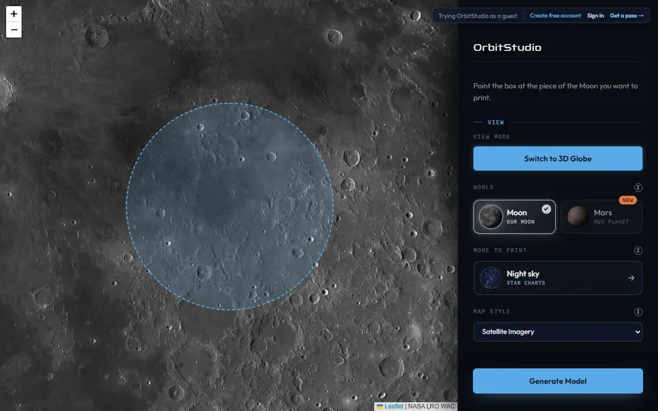
OrbitStudio
Print any place on the Moon, Mars, Pluto and nine more worlds as a snap-together puzzle or ornament
Maps & Terrain
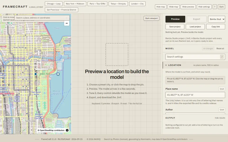
FrameCraft
Free browser app that turns any OpenStreetMap location into a framed miniature city, with a multicolor Bambu 3MF