GPXtruder
Turn a GPX run or ride into a 3D printable elevation profile model
Opens gpxtruder.xyz
About GPXtruder
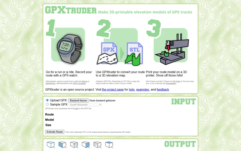
GPXtruder takes a GPX file from a GPS watch or an app like Strava and turns the route into a solid elevation model. The track becomes a raised ribbon whose height follows the climbs and descents, so a hilly marathon or mountain ride becomes something you can hold.
You can show the route as it looks on the map, stretch it into a straight linear profile, or wrap it into a ring. Settings cover vertical exaggeration, smoothing, path width, base height, map projection and distance markers every kilometre or mile. Besides the STL download it can output parametric code for OpenSCAD and OpenJSCAD if you want to remix the model.
It is free, needs no account and is open source. The interface is plain and a little dated, but it does one job well and is a nice way to remember a race or a long day on the bike.
What you can make
- Route elevation models
- Linear race profiles
- Ring shaped route profiles
- Marathon and ride keepsakes
How to use it
- Upload your GPX file
- Choose map, linear or ring style
- Set exaggeration, width and base
- Generate and download the STL
Good
- Three display styles: map, linear and ring
- Distance markers along the route
- Free and open source
Not so good
- Only the first track in a GPX file is used
- Shows the route ribbon, not the surrounding terrain
- Dated interface
What you'll need to print it
Materials and parts that give the best results with GPXtruder.
Matte PLA for signs and Gridfinity
Matte filament hides layer lines and cuts glare, so raised lettering on signs and nameplates stays readable from any angle and a drawer full of bins looks uniform.
- Bambu Lab PLA MatteWide colour range with AMS-ready RFID, ideal for multi-colour signs.
- Polymaker Panchroma Matte PLA (formerly PolyTerra)The former PolyTerra line under a new name: soft matte look and good value for printing Gridfinity in bulk.
- SUNLU Matte PLALow-cost matte option for large batches of bins and baseplates.
Silk PLA for vases and ornaments
Silk PLA's glossy, metallic sheen turns simple vase-mode prints and ornaments into gift-worthy pieces with no painting or post-processing.
- Bambu Lab PLA Silk+Stronger layer adhesion than typical silk blends, so thin-walled ornaments are less brittle.
- Polymaker Panchroma Silk PLASuccessor to PolyLite Silk, reformulated to print faster and more reliably.
- eSUN PLA-SilkLong-running, affordable silk with a strong shine in many colours.
Some of these are affiliate links: we may earn a small commission, at no extra cost to you. More about that
Read next
Alternatives to GPXtruder
All maps & terrain generators
Maps & Terrain
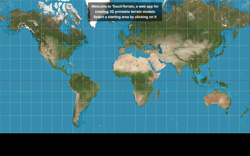
TouchTerrain
University-built web app that turns elevation data into printable terrain tiles
Maps & Terrain
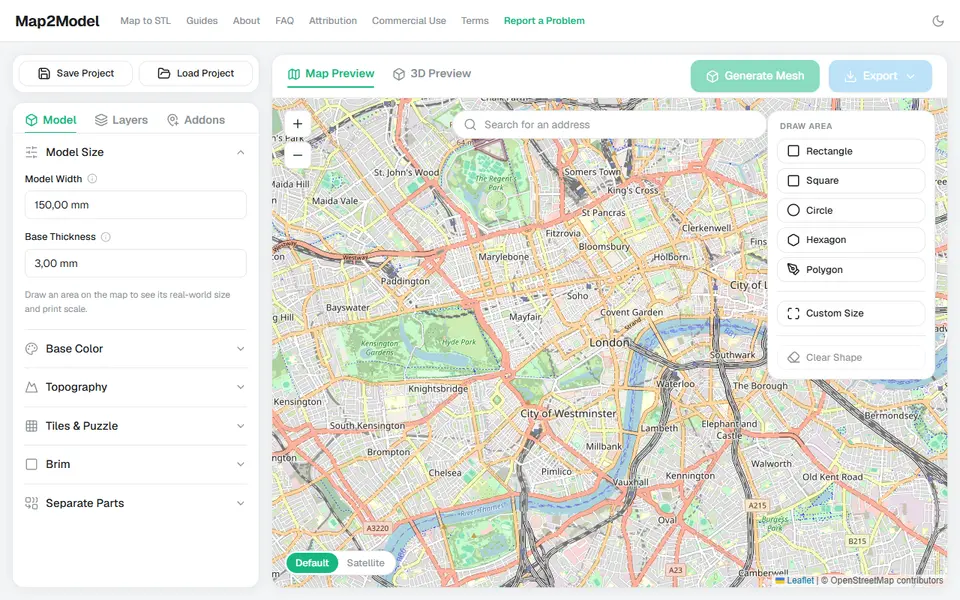
Map2Model
Draw an area on a map and export a city or terrain model as STL or multicolour 3MF