The Terrainator
Select terrain on Earth, the Moon or Mars and buy a scaled STL
Opens terrainator.com
About The Terrainator
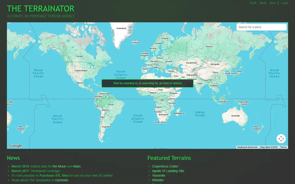
The Terrainator is a long running terrain site by Edinburgh developer Dan Wilson. You select any area on Earth, the Moon or Mars, it generates a 3D model of the ground, and you preview it in the browser before buying the STL for your own printer.
Models start with a base of 48 square centimetres and a slider lets you scale them up to 200 square centimetres. The source is bare ground elevation, so buildings and trees are not included. Featured examples range from Mont Blanc and Yosemite to Copernicus Crater and the Apollo 11 landing site, which shows its strength with planetary terrain.
Each model costs a flat fee paid through PayPal, and you need to sign in to buy. The site is simple and has not changed much in years, but it is one of the few places that covers the Moon and Mars as well as Earth.
What you can make
- Mountain terrain models
- Lunar crater models
- Mars terrain models
- Landing site keepsakes
How to use it
- Choose Earth, Moon or Mars
- Select your area and preview the terrain
- Resize the model with the slider
- Sign in, pay and download the STL
Good
- Covers Earth, Moon and Mars
- Simple select and buy workflow
- 3D preview before purchase
Not so good
- Every model is paid
- Sign-in required to buy
- Few settings beyond size
What you'll need to print it
Materials and parts that give the best results with The Terrainator.
Matte PLA for signs and Gridfinity
Matte filament hides layer lines and cuts glare, so raised lettering on signs and nameplates stays readable from any angle and a drawer full of bins looks uniform.
- Bambu Lab PLA MatteWide colour range with AMS-ready RFID, ideal for multi-colour signs.
- Polymaker Panchroma Matte PLA (formerly PolyTerra)The former PolyTerra line under a new name: soft matte look and good value for printing Gridfinity in bulk.
- SUNLU Matte PLALow-cost matte option for large batches of bins and baseplates.
Some of these are affiliate links: we may earn a small commission, at no extra cost to you. More about that
Read next
Alternatives to The Terrainator
All maps & terrain generators
Maps & Terrain
TouchTerrain
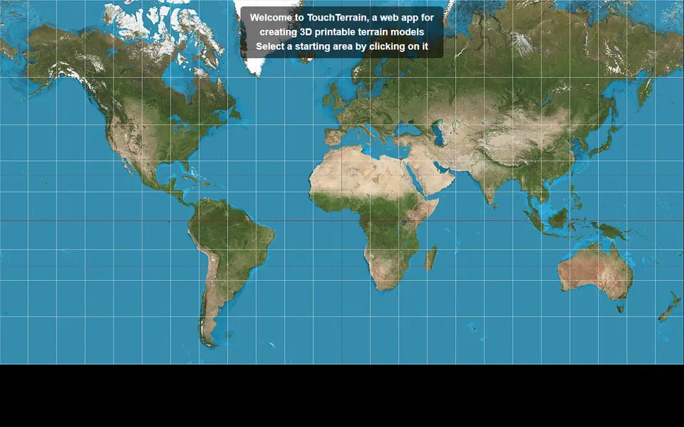
University-built web app that turns elevation data into printable terrain tiles